I had long dreamed of racing a classic 100-miler in North America. I had applied for Western States countless times without lottery luck (I had barely a 2% chance of being drawn this year). After striking out in the Hardrock 100 lottery as well, I realized I needed a different strategy. Years ago, while working with an American company, a colleague suggested the historic, rugged, and uncompromising Angeles Crest 100 (AC100), where he routinely paced friends through the mountains. Intrigued by the raw grassroots ethos, I entered the lottery for the unassisted Solo Division (zero crew, zero pacers).
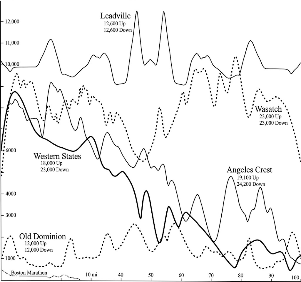
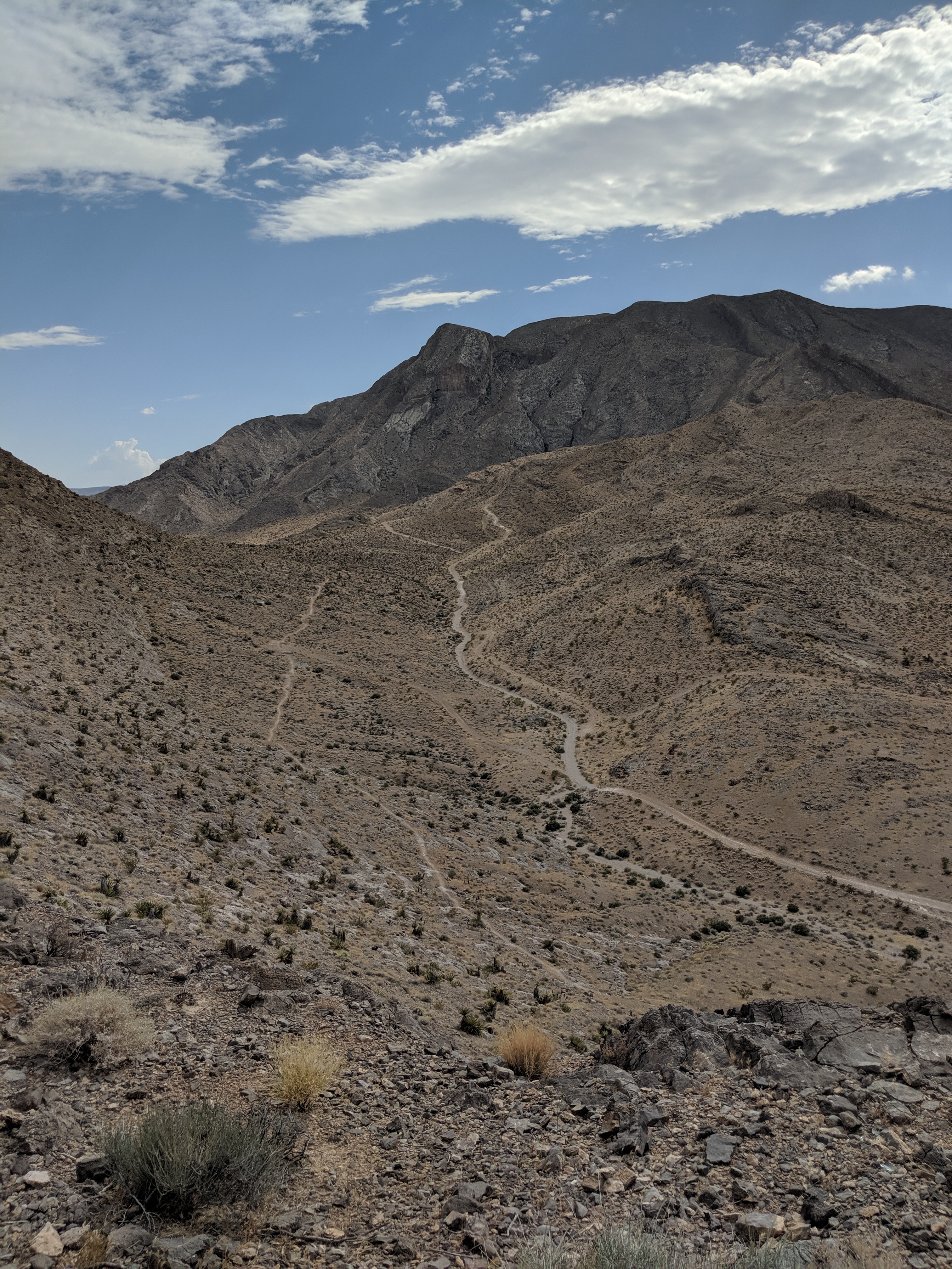
Inaugurated back in 1986, the Angeles Crest 100 is a classic point-to-point traverse starting in the high-desert mountain town of Wrightwood and finishing in Loma Alta Park in Altadena, just outside Pasadena. Key sections, especially the opening miles, follow the legendary Pacific Crest Trail (PCT). On race weekend, afternoon temperatures breached a scorching 40+°C (105+°F) in the lower canyons—reportedly one of the hottest editions in race history. Billed as a "net downhill" ultra, the course packs +5,800 meters (+19,000 ft) of climb and -7,400 meters (-24,300 ft) of quad-busting descent.
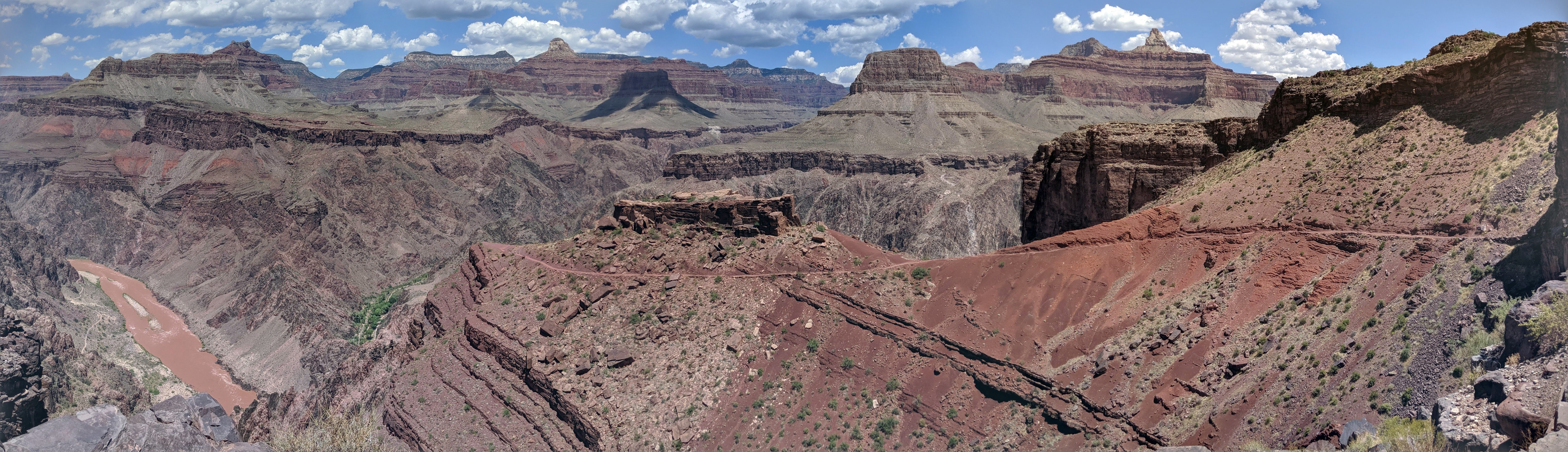
Our whole family flew over two weeks early for a Southwest road trip, kicking off at the Grand Canyon. Descending the South Kaibab Trail into the 1,000-meter-deep canyon was a massive shock to a Swedish system: the thermometer in the canyon floor registered 43°C (109°F), feeling like a blast furnace radiating off the red canyon walls.
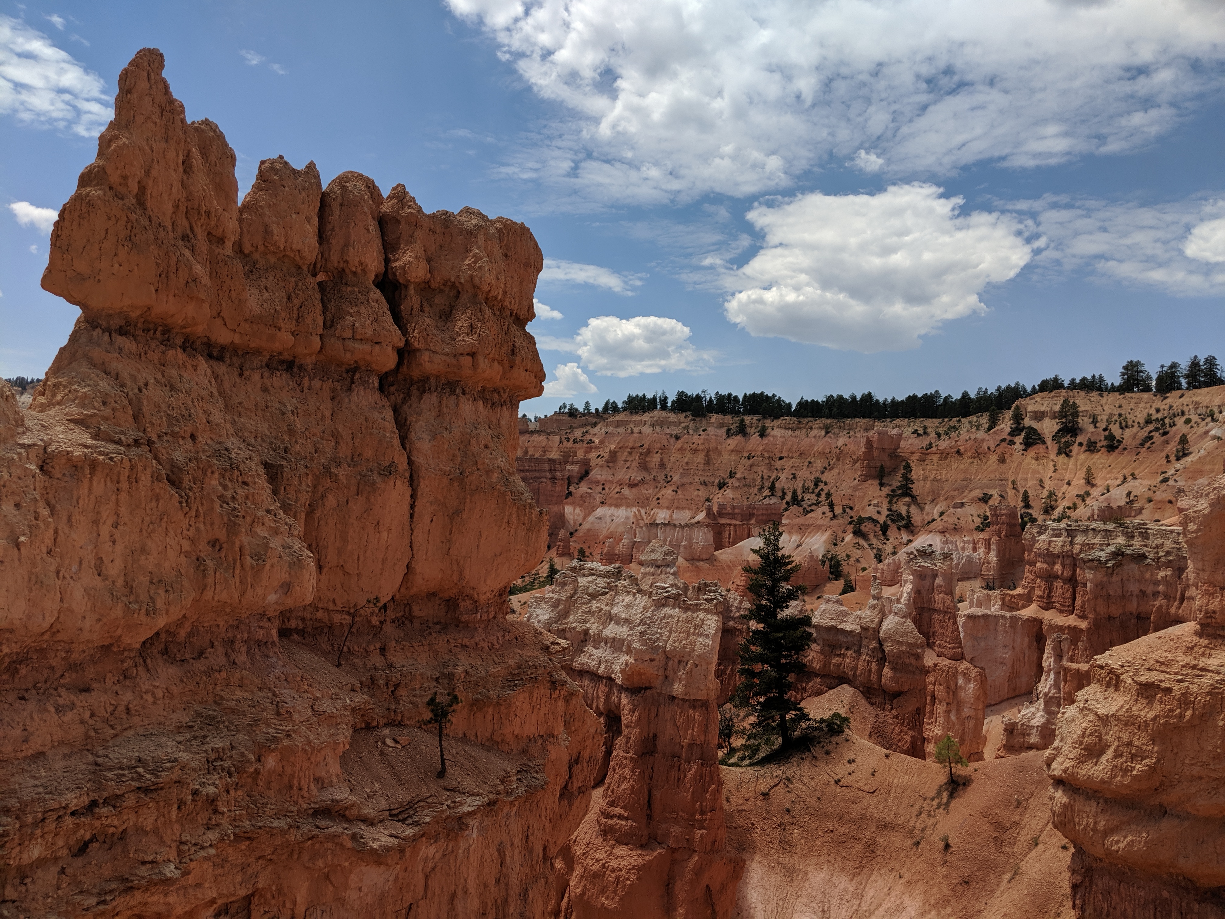
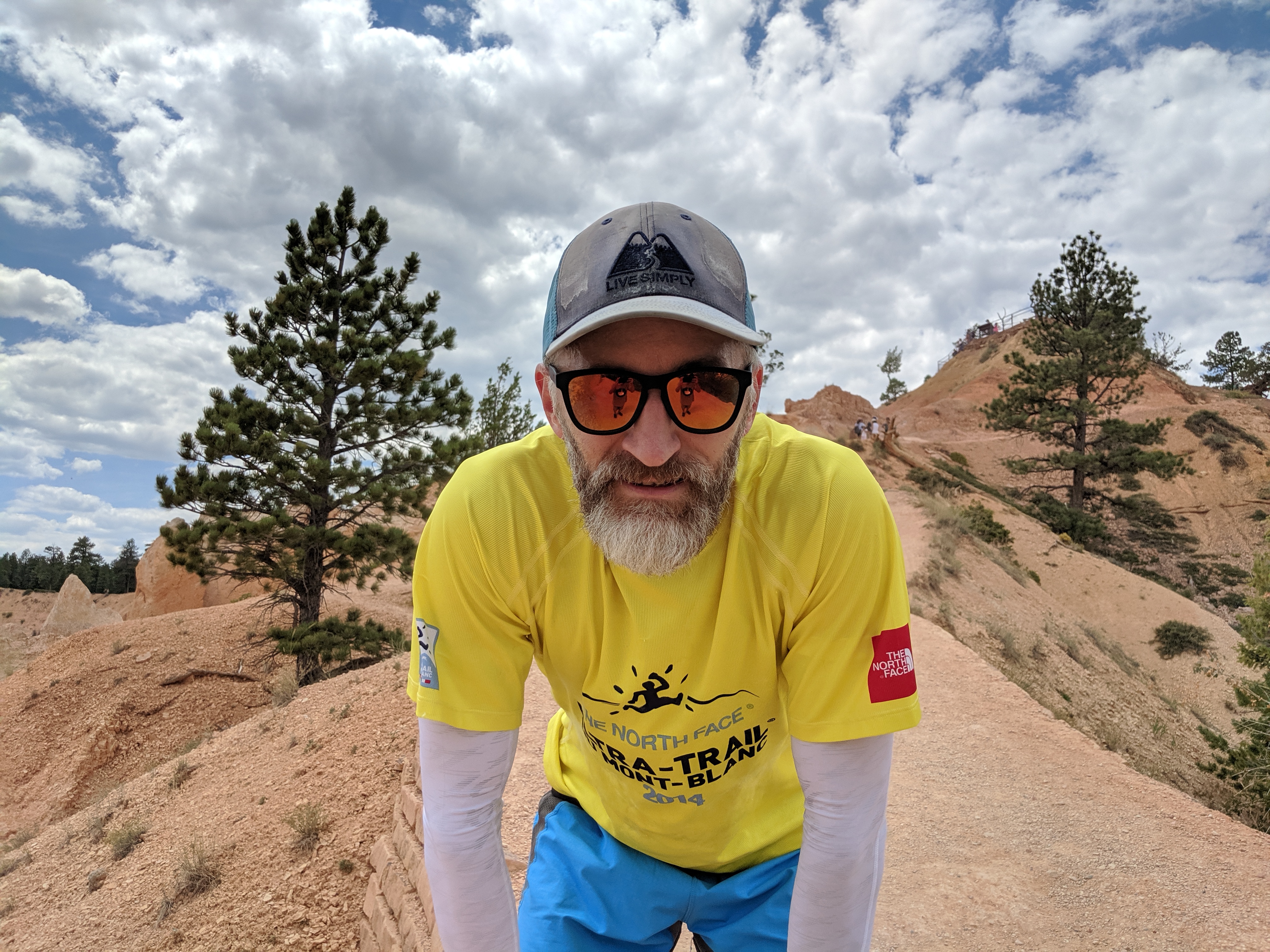
From there, we explored Bryce Canyon National Park at 2,700 meters (8,900 ft), trail running among towering sandstone hoodoos carved by millennia of wind and water. Next came a quick stop in Las Vegas for desert heat adaptation; my physiological ceiling seemed to top out at 38°C—anything hotter and the engine began to overheat.
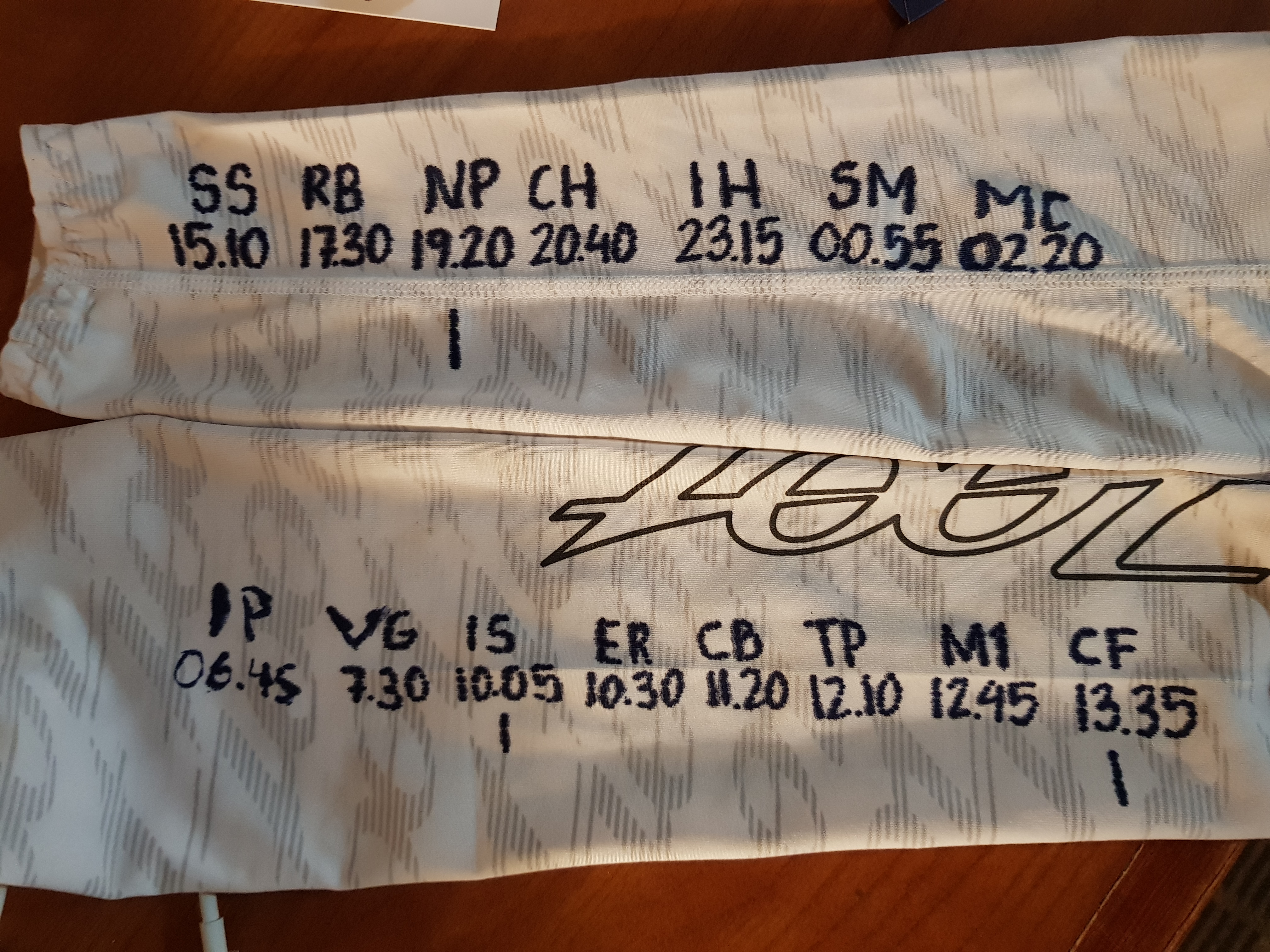
The day before the race, we arrived in Wrightwood for check-in and the pre-race briefing. In the car, I finalized my split targets, writing distances and cutoffs directly onto my white arm warmers with a permanent marker. At check-in, I learned the Solo Division was surprisingly larger than the Supported Division. In Supported, crews meet runners at nearly every road crossing and pacers join at halfway. Solo runners are entirely self-reliant, carrying gear and utilizing neutral drop bags. At the briefing, the race medical director mentioned seeing 130°F (54°C) on his dashboard thermometer driving up from the desert floor—which gave everyone plenty of nervous laughter.
Hitching a ride to the 05:00 start in the dark, that familiar existential question popped up: why do we willingly subject ourselves to this? Nobody forces you to stand on a starting line in a desert mountain range knowing you'll be pushed into deep physical suffering for 24 hours. But that's the core essence of the 100-mile ultra: seeking your absolute perimeter, finding where the edge lies.
At 05:00, the gun fired and the frontrunners sprinted off into the dark, beginning the opening 700-meter climb. My game plan was conservative: survive the furnace, keep the heart rate out of the red, and only allow myself to "race" from Mile 70 onward.
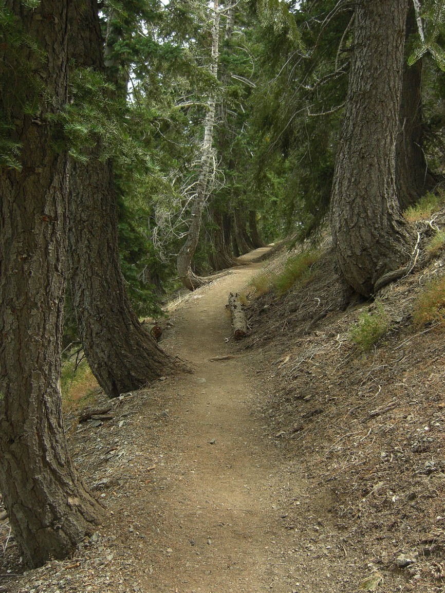
Crossing Inspiration Point (km 11) in cool dawn air, the rolling PCT trail felt smooth and fast toward Vincent Gap (07:22). But right out of Vincent Gap, the first monster test arrived: a 1,000-meter vertical grunt up the switchbacks of Mt. Baden-Powell (2,800 m / 9,399 ft). The race packet advised carrying up to 3.5 liters of water for the 20 km stretch to Islip Saddle; I was carrying only 1.5 liters. Cresting the summit ridge, I enjoyed smooth descending along the Pacific Crest Trail until panic struck: where were the course ribbons? I hadn't seen a runner in an hour and had nearly drained my water. Terrified of getting lost in the arid mountains, I turned around and backtracked a couple of kilometers until meeting another runner who assured me we were on the right trail.
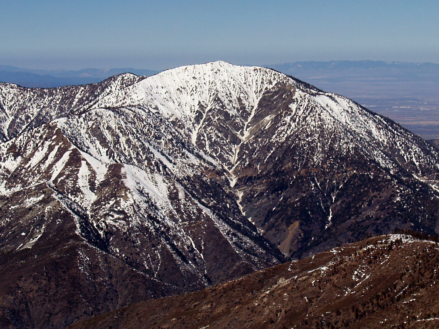
I reached Islip Saddle at 09:56, thirty minutes after running out of water. Volunteers yelled that I was in 11th place. From Islip Saddle began the most grueling stretch: a long exposed section winding alongside Angeles Crest Highway under radiant heat in excess of 35°C. I soon learned that running on the painted white road lines was noticeably cooler than the asphalt.
By Cloudburst Summit (11:14), severe heat exhaustion set in: cold chills, stopped sweating, and dizziness. An attentive volunteer saw my state, hauled me to an enormous cattle trough filled with ice water, and dunked me in. He packed my hat, arm warmers, and pack with ice before sending me back onto the trail. The instant reset was incredible—like hitting the restart button on a computer. That volunteer became my guardian angel, affectionately dubbed Mr. Ice.
Thirty minutes later, the ice had completely melted and the oven reopened. At Three Points (12:00), Mr. Ice appeared again to repeat the ice treatment. By Shortcut Saddle (mile 59, 14:54), the temperature was confirmed well over 40°C (105°F). Climbing out of the canyon, I ran out of water again and began seeing spots. Stumbling toward the ridge, Mr. Ice walked down the path with a bucket of ice to guide me into the checkpoint. His care literally saved my race.
At Red Box (17:08), I watched another top runner collapse into a chair, pulling the plug. My right outer ankle was swelling badly from the cambered roads—forcing me to run in lightweight road flats—so I had to take shoes off repeatedly to relieve pressure. At Newcomb Pass (18:51, mile 68), volunteers told me I was in 7th place overall, with only two solo runners ahead. Hearing that, the predator switch flipped: game on.
I hunted down the next solo runner within three kilometers, then swept past a supported runner and his pacer. Charging into Chantry Flat (20:16), dusk was falling, but the heat clung to the mountains all night. Volunteers told me the climb to Mt. Wilson was 3 km; in reality, after a 3 km roller, the trail kicked straight up the mountain face for nearly 5 kilometers of the steepest climbing in the entire race! Exhausted, I topped out on Mt. Wilson to be greeted by the breathtaking sea of lights illuminating the entire Los Angeles basin below.
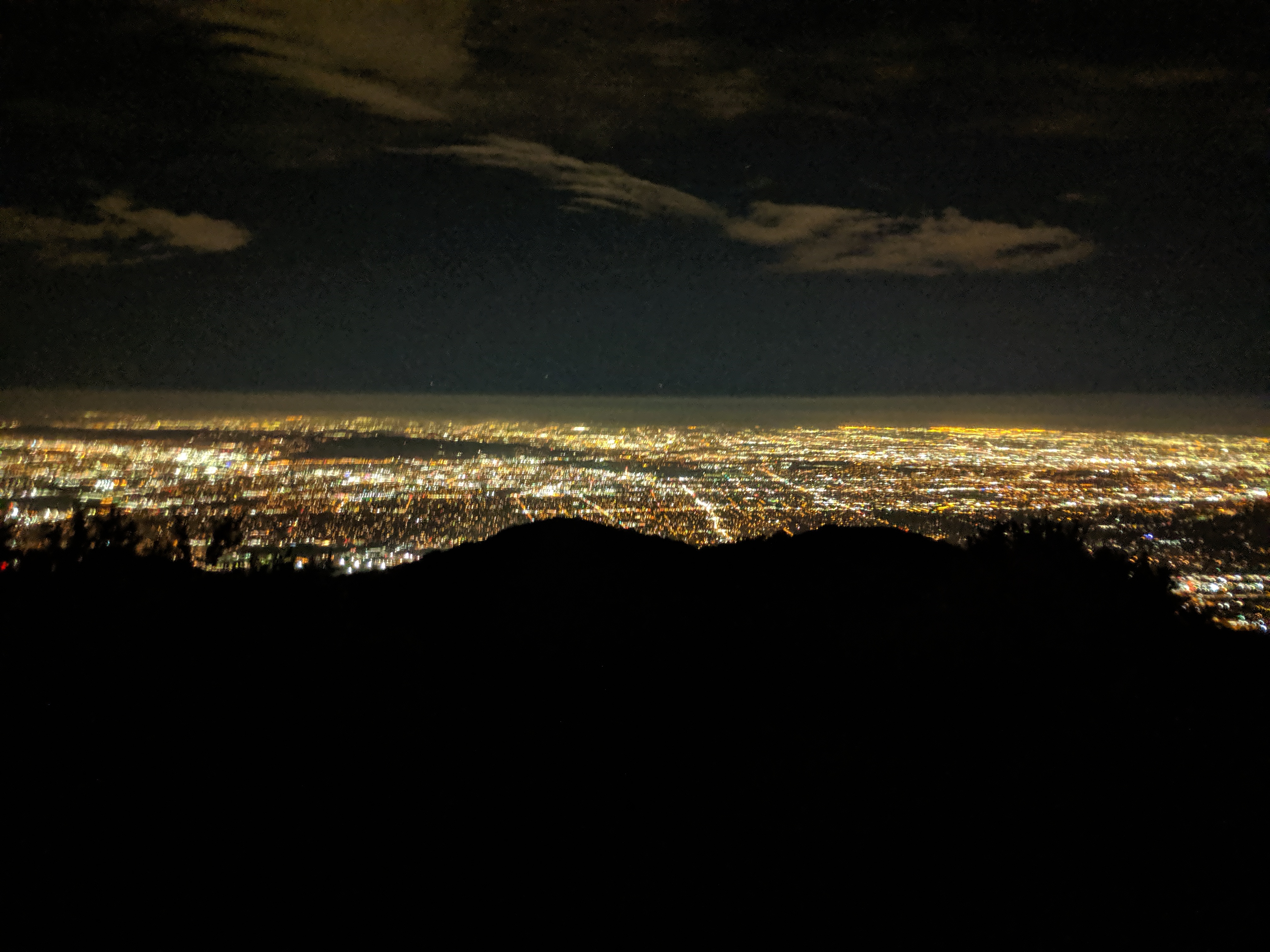
At Idle Hour (22:42), aid workers told me the lead solo runner had departed just five minutes earlier. I sprinted into the dark, catching him within minutes as he was reduced to walking. I wished him well and pressed on. Climbing over Sam Merrill (00:21), the trail plunged down toward Millard Canyon over sandy rock slabs, sliding precariously close to the edge in my road shoes.
Leaving Millard Canyon (01:50) with just 4 miles to go, both of my headlamps began flashing red and died within minutes, reducing my light to a faint one-meter puddle. Thankfully, the trail popped onto suburban residential roads, allowing me to navigate by streetlights. At 02:43 AM—after 21 hours, 43 minutes, and 32 seconds—I sprinted across the turf of Loma Alta Park in Altadena to claim 1st Place in the Solo Division and 4th place overall!
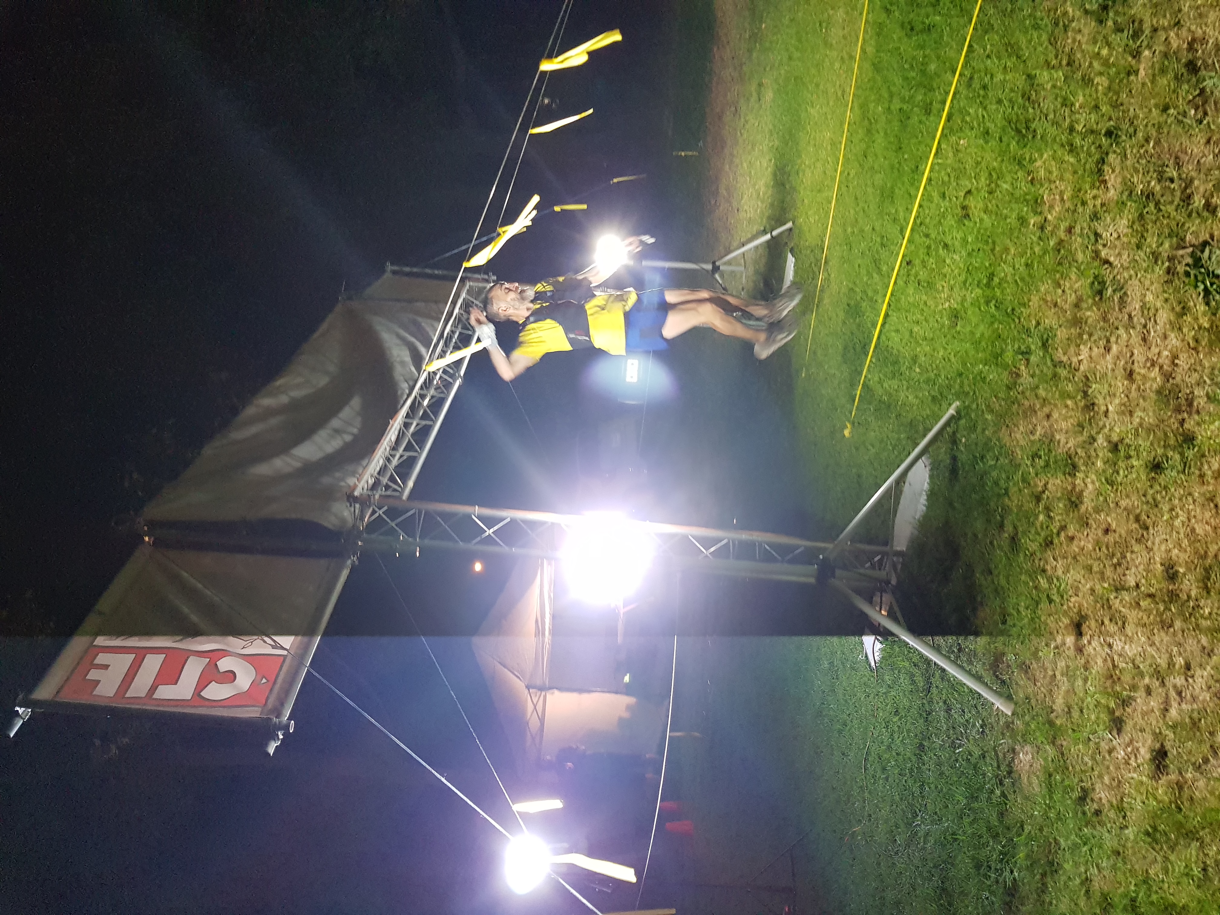
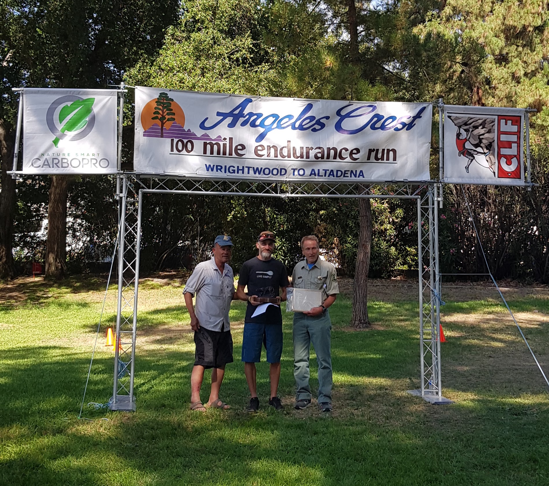
The awards ceremony the following day celebrated every finisher from last to first. Total starters: 229, with 155 crossing the line. Receiving the coveted Bronze Cougar trophy from race director Ken Hamada and "Trail Boss" Gary Hilliard was an unforgettable honor. Angeles Crest 100 embodies the very best of American ultrarunning culture: raw, fiercely challenging, and extraordinarily warm-hearted.