This trip report has taken me an eternity to write. Between a whirlwind autumn and the physical fallout from the year, I rarely found the mental bandwidth or quiet time to put pen to paper. But memories fade, and before the vivid colors of this expedition slip away, I want to capture every raw detail of this extraordinary mountain crossing.
It all began when I once again tried to convince Viktor to join me at Tor des Géants—a mythical monster of an ultra that I had followed for years with terrified fascination, but lacked the nerve to enter solo. Once again, Viktor was booked up, but countered with an unfamiliar suggestion: fastpacking the legendary GR20 across Corsica in late July. A quick search revealed that seasoned mountaineers and trail forums routinely call it "the toughest long-distance trail in Europe." That was all the convincing we needed.
I pitched the adventure to my trusty training partner Mattias as a "relaxing, scenic getaway for mountain epicures" (words I would soon be forced to eat). We also recruited Fredrik the Younger, who turned out to be an exceptionally strong and steady mountain athlete.
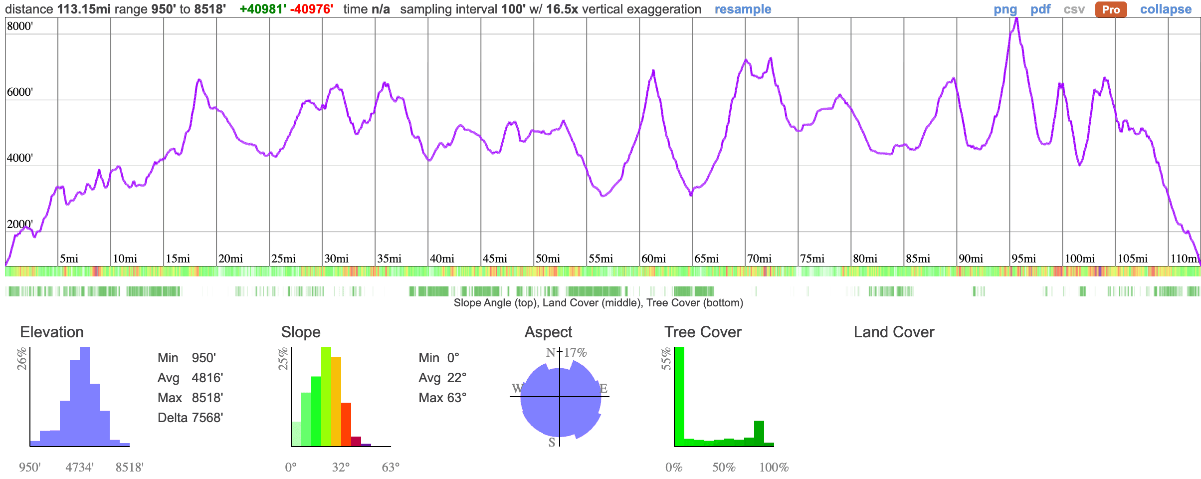
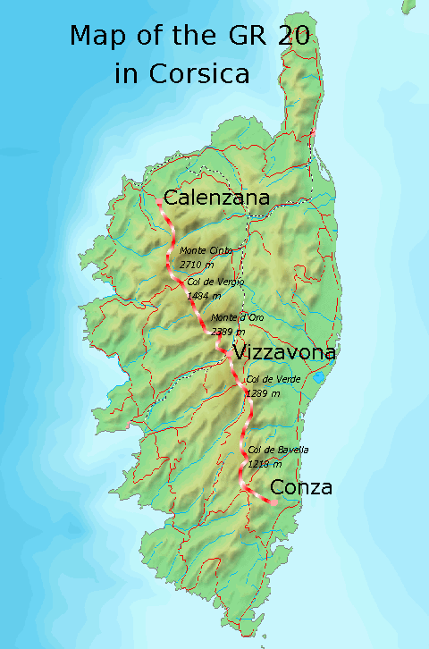
Viktor, a highly skilled and experienced mountain guide, handled all the logistics: booking the alpine refuges, organizing packing lists, managing gear weight, and carving the trail into five manageable chunks. Day 1 was designed as the longest: ~52 km across four official hiking stages. The remaining days covered roughly three stages each, with the crux falling on Day 4: the monster traverse beneath Monte Cinto.
Day 0: Arrival in Conca and Pre-Race Anxieties
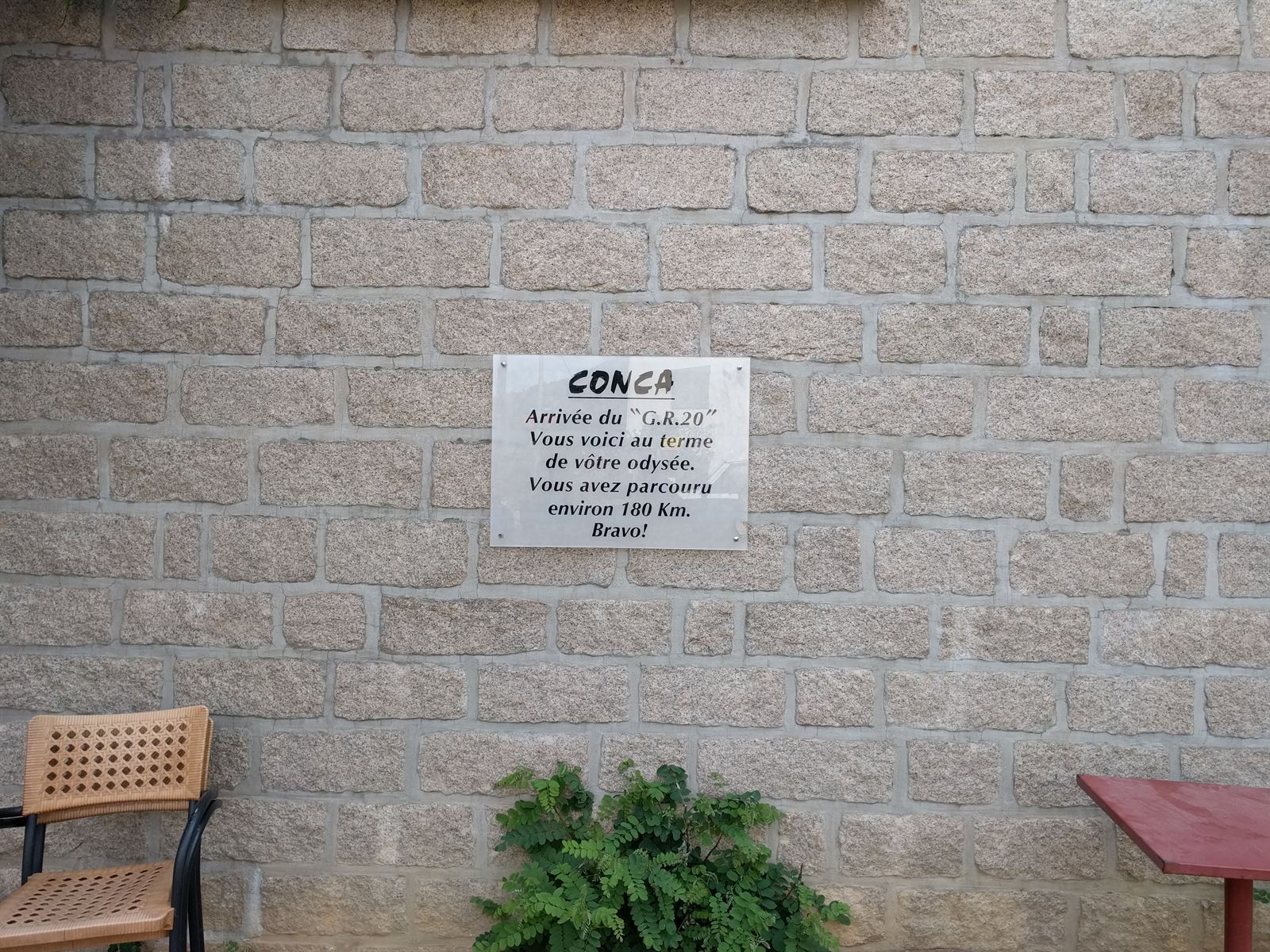
We flew from Stockholm to Bastia, stashed our city clothes, and took a taxi south to the mountain village of Conca—the southern terminus of the GR20. The evening before departure was plagued by doubt: my right knee, already fragile, had taken a severe blow during my fall at Swedish Alpine Ultra just a week earlier. Over dinner, I admitted to the crew that the odds of my body enduring 200 km of vertical scrambling were slim at best. Viktor helped me map an escape route: one more night in Conca, a bus to the mountain railway, and a train up to Calvi to meet them at the finish. (Fair warning: this report will feature my cranky knee prominently).
Day 1: Conca → Refuge de Paliri → Refuge d'Asinao → Refuge d'Usciolu
Alarms buzzed just after 5 AM: a quick bite, bags cinched, flasks topped off, and feet on the trail as the first rays of sunlight broke over the Mediterranean. Climbing out of Conca's quiet cobblestone streets, my right knee twinged on every incline and step-down. Not blinding agony, but enough to make me think I'd be limping back to trigger my bailout plan within two hours.
Leaving the pavement, the GR20 immediately revealed its true character: steep, boulder-choked, and relentless. The opening climb wove through dense pine forest before topping out over our first high ridge. The panoramas were staggering: jagged granite spires stretching to the horizon. As the hours ticked by, we moved through pine forests, oak groves, and endless rock. The footing was brutal; I had always thought Kungsleden was technical, but it felt like a highway compared to the raw chaos of Corsican granite.
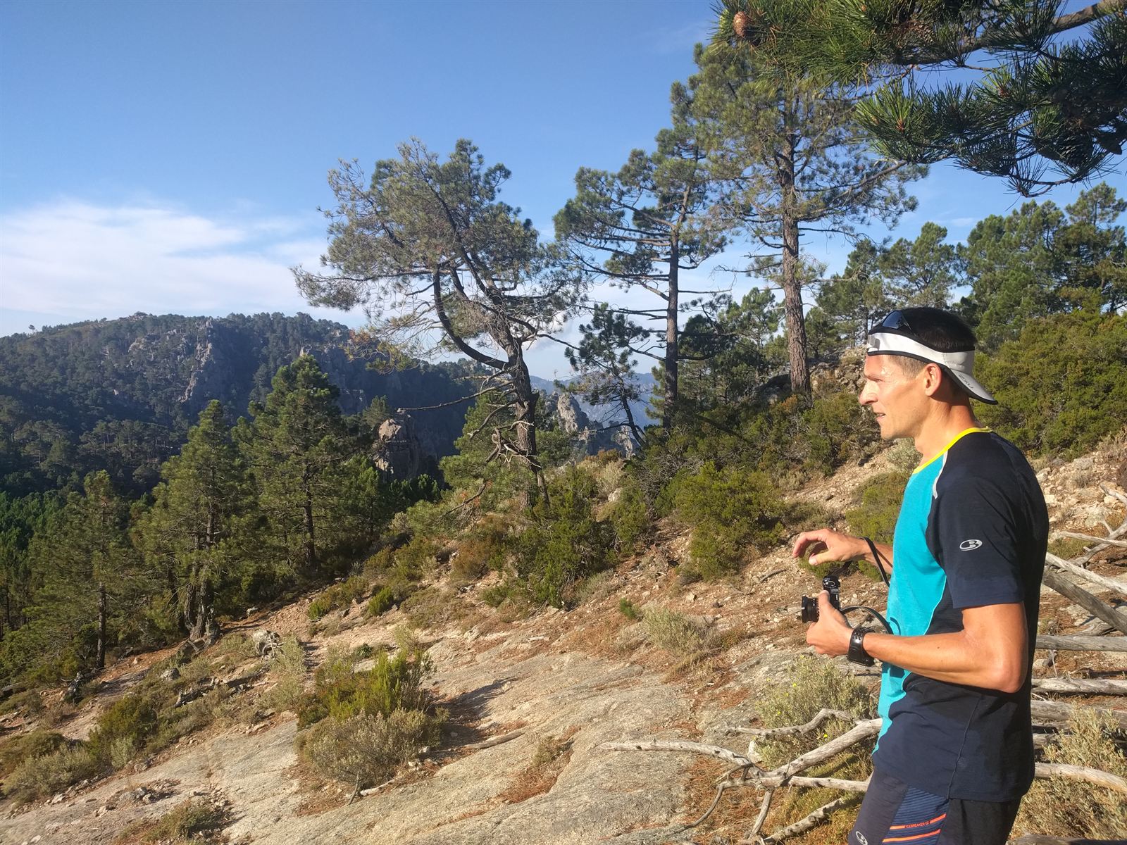
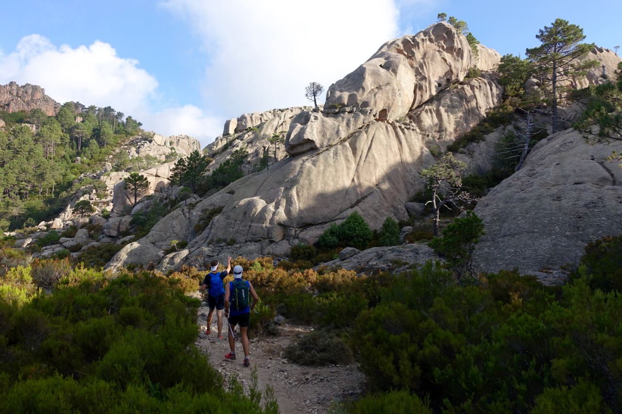
We hit Refuge de Paliri after 2 hours and 45 minutes: a rustic stone hut perched on the ridge. The hut keeper poked his head out and declared we had five minutes to buy anything because he was heading down to fetch supplies. Water was never an issue along the trail; every refuge had a potable source, and mountain springs bubbled regularly between stages.
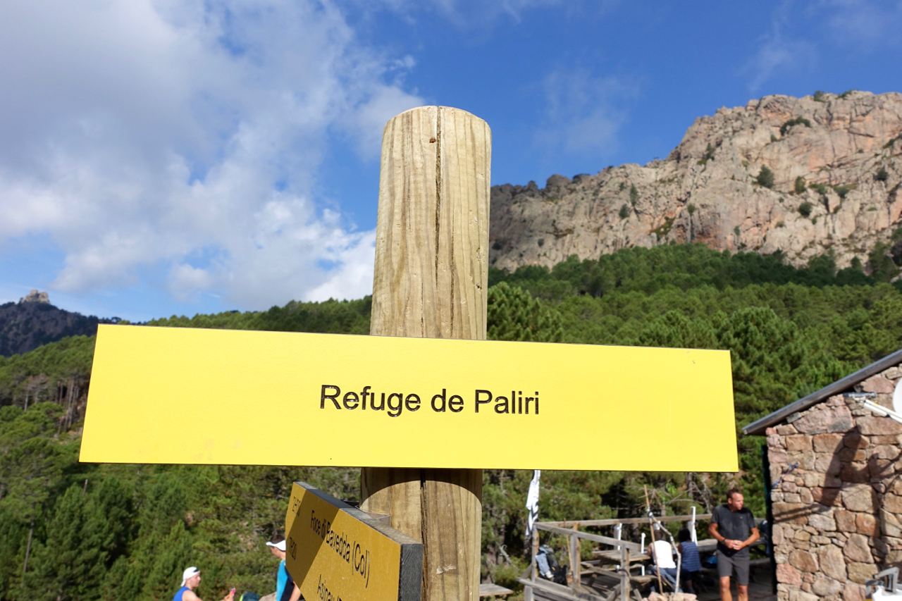
Right after Paliri, climbing the next ridge, we heard quick footsteps behind us. It was the hut keeper, carrying an empty pack, cruising up the mountain. He smiled, waved, and bounded down the opposite scree slope at breakneck speed. A few kilometers later we crossed paths with him again—now hauling a bulging pack full of baguettes and canned goods back up the mountain. Near Aiguilles de Bavella, the trail intersected a road with a small store. We indulged in cold sodas and fresh nectarines (the start of a trip-long tally that eventually surpassed 120 cans of soda among us).
One striking observation: despite heavy foot traffic, the GR20 was remarkably pristine. To keep it that way, we launched an ongoing competition: whoever packed out the most trail trash to the next refuge bin earned bragging rights.
From Bavella, the trail offered short runnable sections climbing toward Refuge d'Asinao, which had burned down but still operated as a vital refuel stop. After a quick breather, we began the stiff scramble toward the summit of Alcudina (2,134 m).
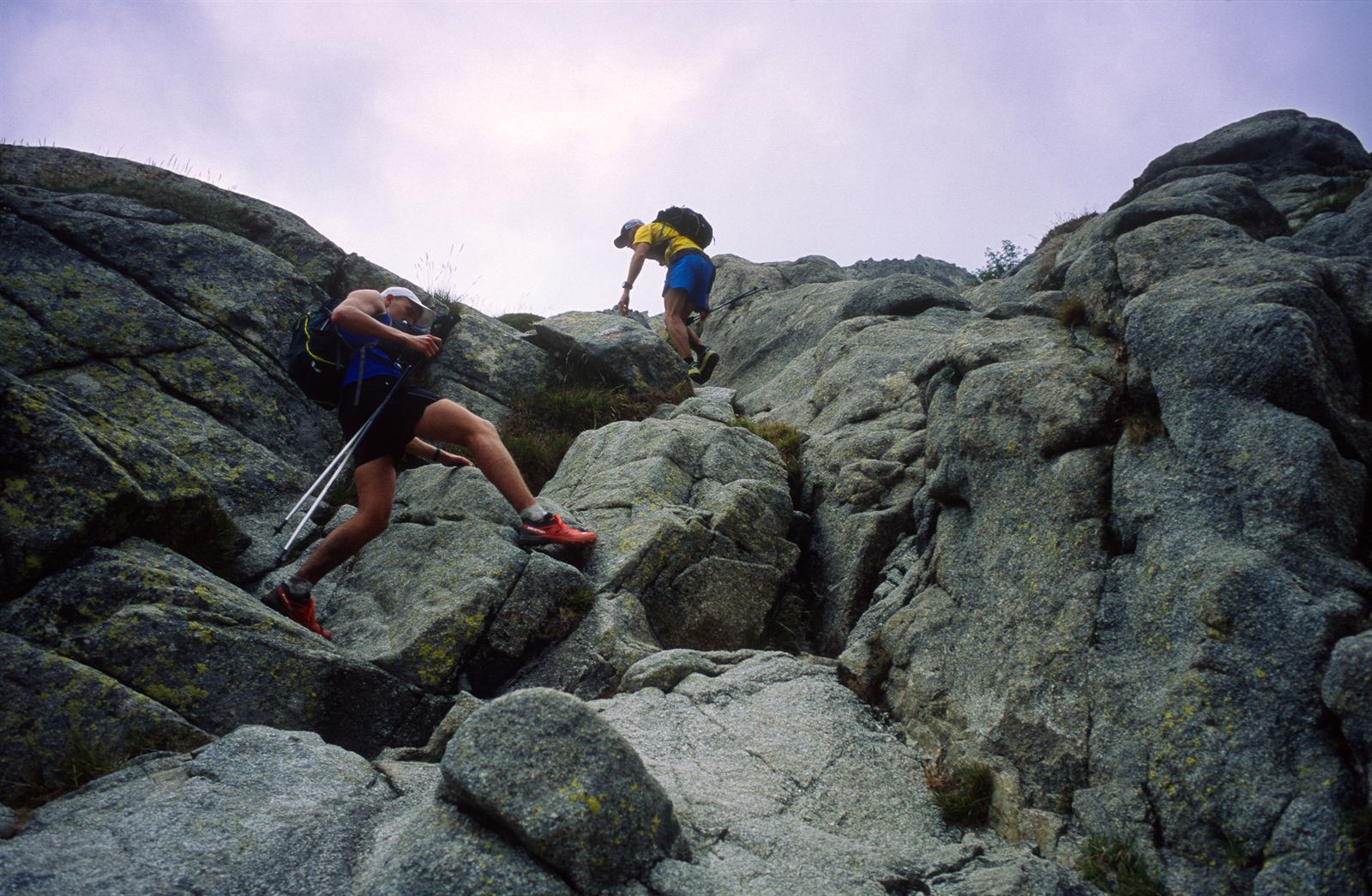
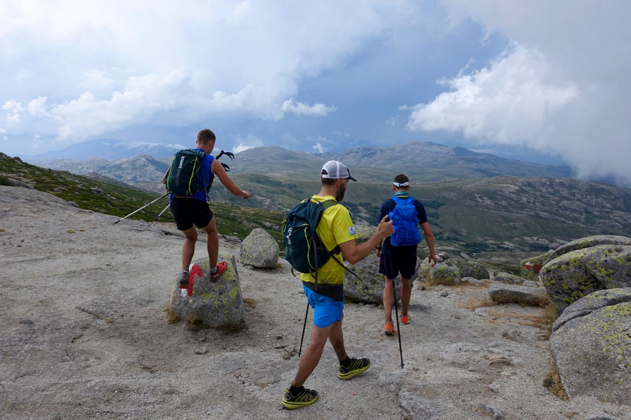
Descending off Alcudina was pure mountain joy: sweeping runnable traverses with unbelievable views. But with daylight waning and calories running low, fatigue was biting deep. After missing a turn and logging bonus vertical, we finally stumbled upon a hut and ordered giant omelettes. At the table next to us, Swedish voices piped up—it was a group that Viktor actually knew! Over food, they delivered the punchline: we were at a private bergerie, not the official refuge; our actual stop was several kilometers farther down the trail. The day was going to be longer than we thought.
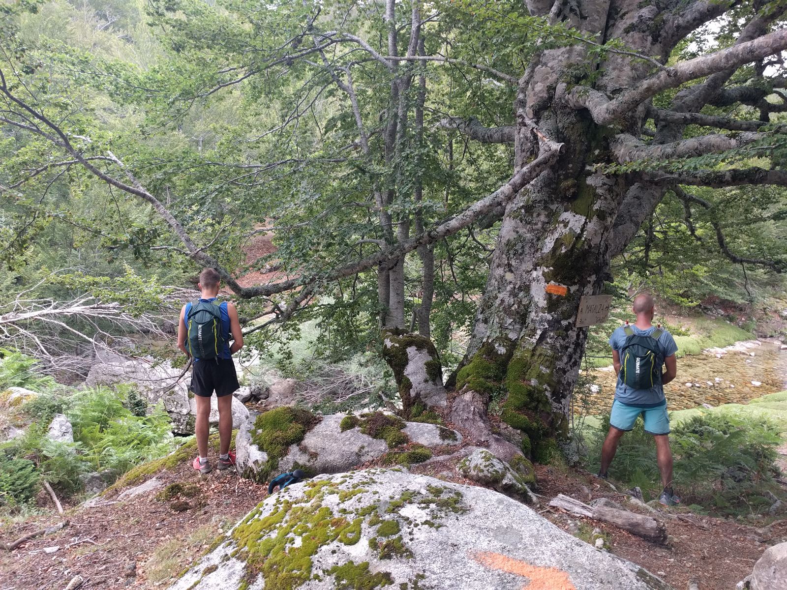
The final push to Refuge d'Usciolu was punishing: endless technical rock hopping, steep boulder ledges, and hand-over-hand scrambling. My knee was screaming on every high step.
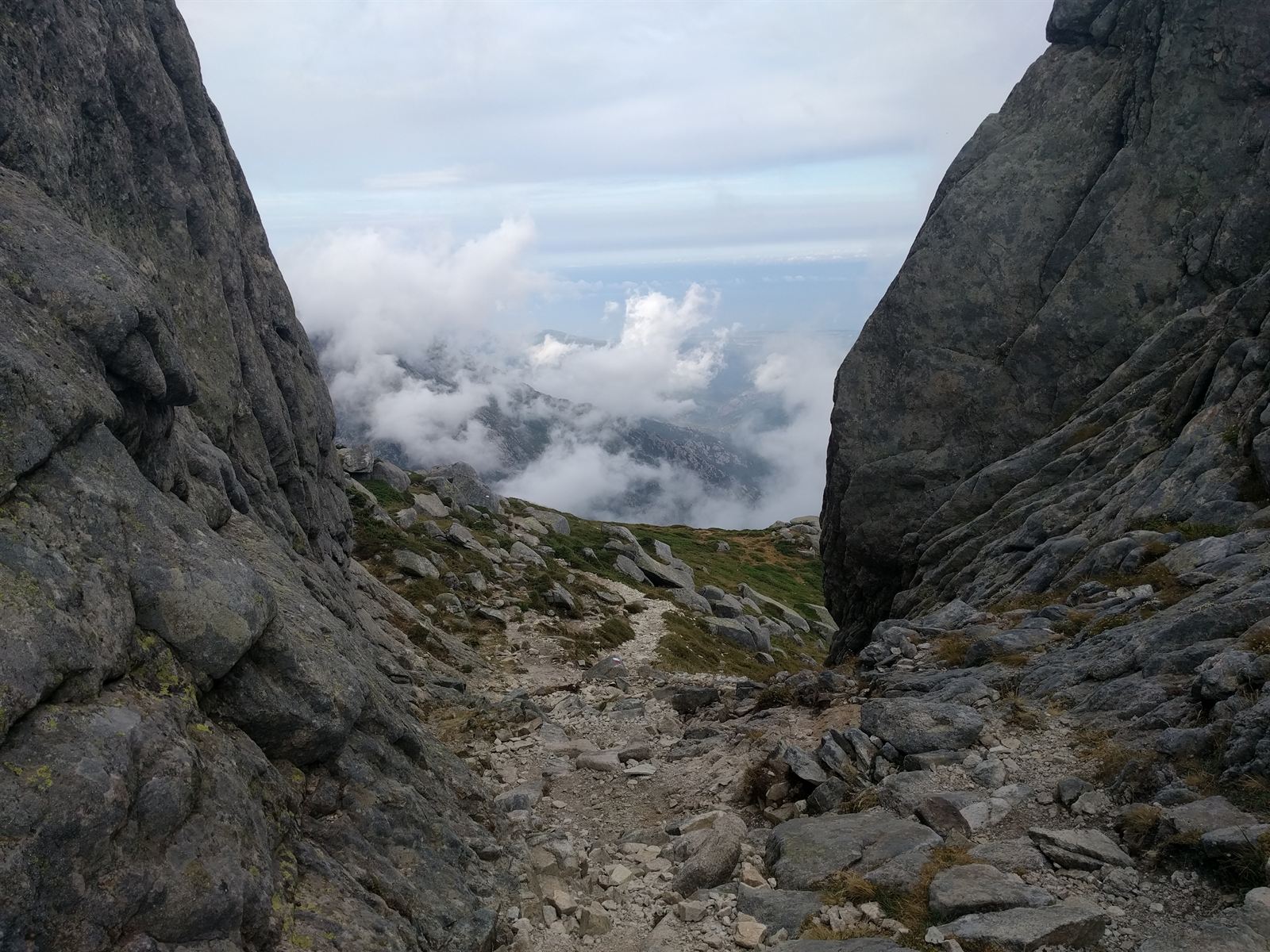
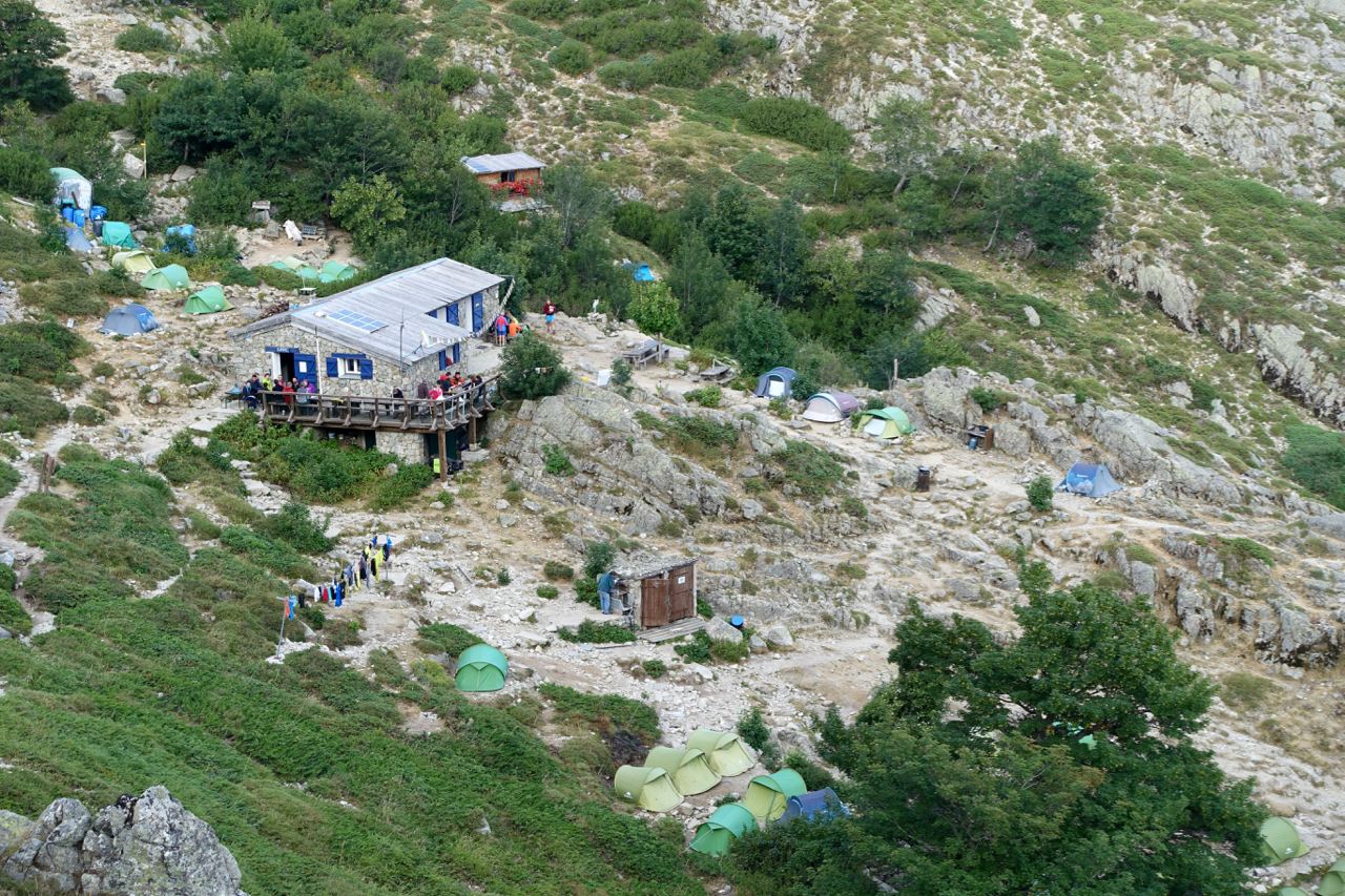
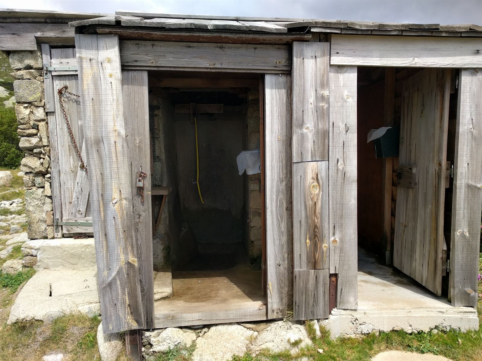
After 13 hours and 20 minutes on our feet, we collapsed at Usciolu. The shower offered only ice-cold mountain water. Trying to wash off a day of grime and caked dust with cold water and bar soap is an unforgettable brand of character building.
Day 2: Refuge d'Usciolu → Refuge de Prati → Col de Verde → Bergeries de Capanelle → Vizzavona
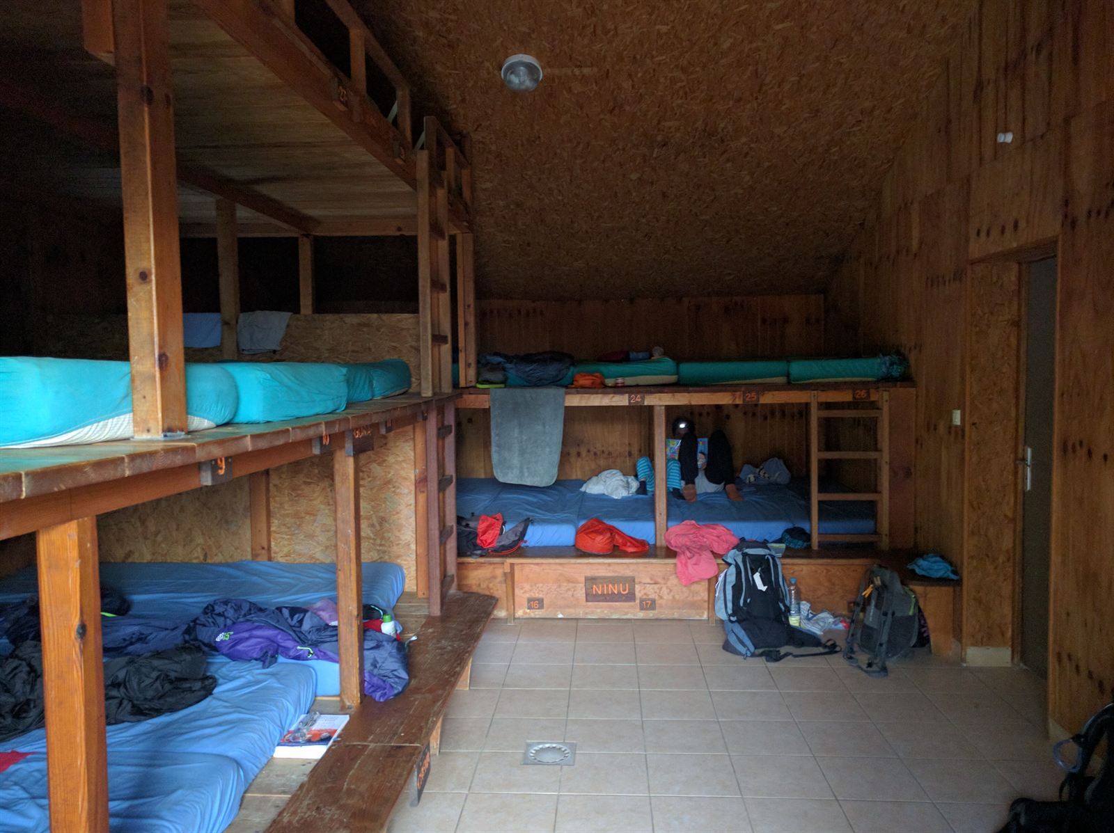
I managed decent sleep despite being packed like sardines in the bunk room with world-class snoring echoing off the walls (bless earplugs). Waking up, my body was stiff, but surprisingly intact—and my knee actually felt slightly better than the previous morning!
Day 2 started immediately with a steep scramble up the knife-edge ridge behind the refuge. We popped out above a sea of clouds as the morning sun warmed the granite. Absolutely magical.
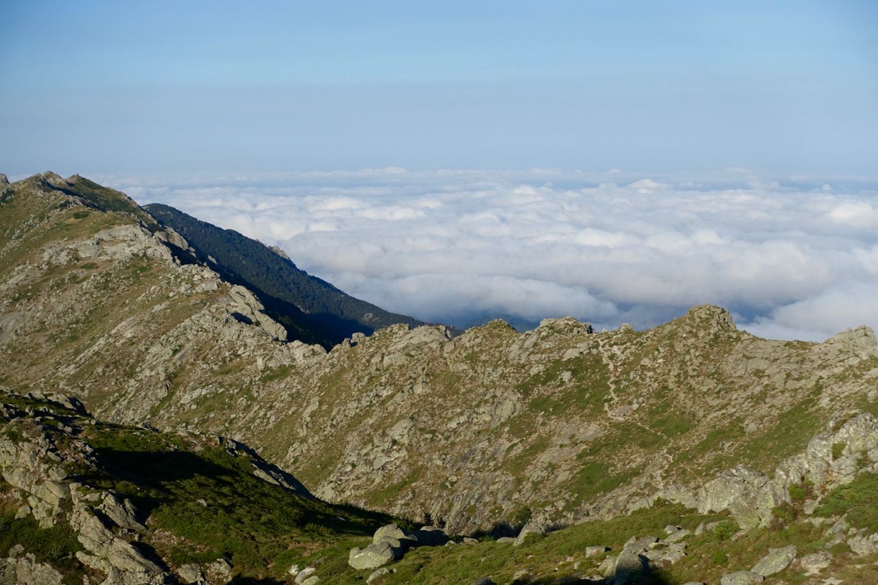
Much of the first stage stayed high on the ridgeline, mixing runnable singletrack with exposed scrambles. We crossed a 100-meter scree chute that felt like a stark reminder: in these mountains, human beings are entirely at the mercy of geology. If that scree decides to slide, it's game over.
Approaching Refuge de Prati, the trail turned into smooth dirt, allowing for our fastest flat split of the trip. Prati had an unforgettable vibe: quiet, almost deserted, with a closed wooden hatch in the wall. When we knocked to buy sodas, the hatch swung open, revealing a room full of chain-smoking Corsican men looking straight out of a classic gangster film. We downed our drinks and pushed on toward Col de Verde.
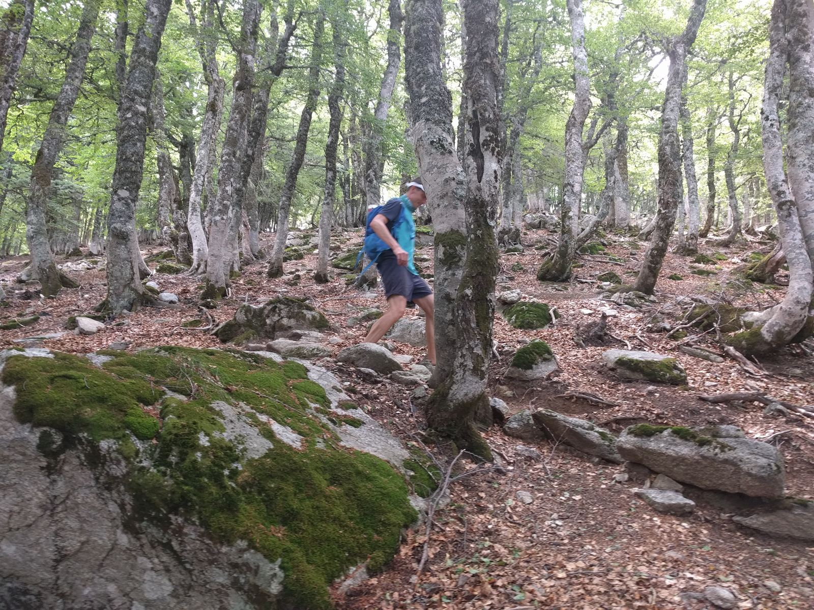
The descent to Col de Verde swept through lush beech and pine woods. The sheer variety of ecosystems kept morale soaring. Hitting the pass, we topped off water and set off toward Bergeries de Capanelle and our target town of Vizzavona, eager for a real hotel bed and a sit-down meal.
By early afternoon, the heat was suffocating down in the lower valleys (~1,200 m). We resisted the urge to plunge into every clear stream, opting instead to scoop hats full of icy water and dump them over our heads. The chill cascading down our necks was instant revival.
Later in the afternoon, we were bounding along a rolling dirt path reminiscent of trails back home. Crossing a small stream flanked by a steep drop-off hidden behind bushes, I stepped onto a rock that rolled violently under my heel. I lost my footing, hit my backside, and began sliding on wet gravel straight toward the cliff edge. I could hear rocks tumbling into the void ahead of me. Just as I braced to go over the brink, two hands snatched me under the armpits and hauled me backward onto the path. My heart was in my throat: one slip away from a nasty fall into a ravine. The GR20 demands total respect at all times.
We refueled on hearty pasta at U Fugone near Bergeries de Capanelle, before launching into the final stage down to Vizzavona.
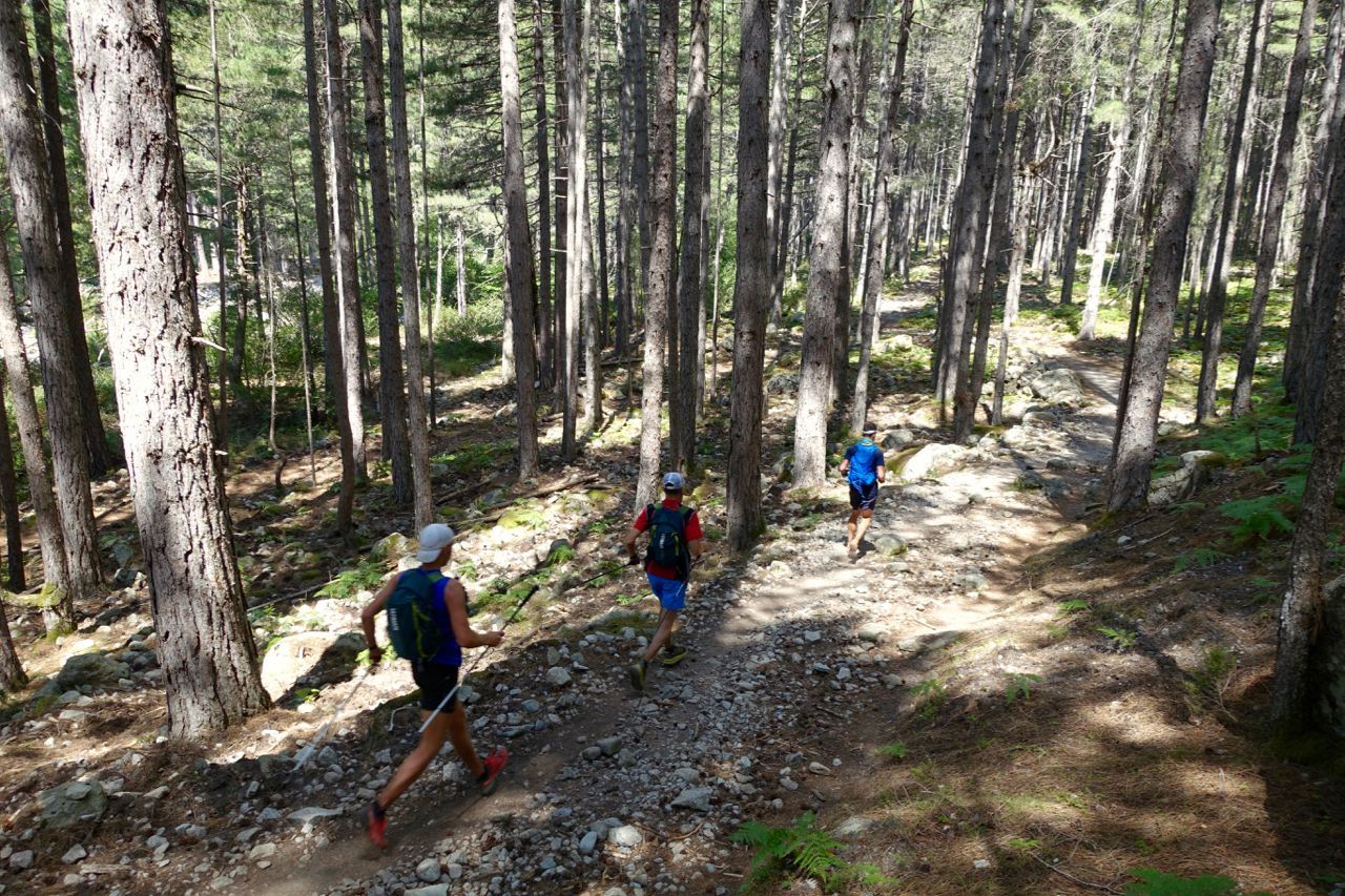
The last 12 kilometers plunged 700 meters into Vizzavona. As the trails widened and our speed picked up, my right knee flared up fiercely. Vizzavona marks the official midpoint of the GR20 with road and rail links, so my backup escape plan danced in my mind once again. But after a hot shower, a massive steak dinner, and a soft bed, the resolve returned.
Day 3: Vizzavona → Refuge de l'Onda → Refuge de Pietra Piana → Refuge de Manganu
Waking up in hotel sheets and sitting down to a full breakfast buffet was heaven after two days in the trenches. My knee had settled down overnight, so there was zero talk of bailing. I pulled on yesterday’s hand-washed clothes and marched back into the mountains.
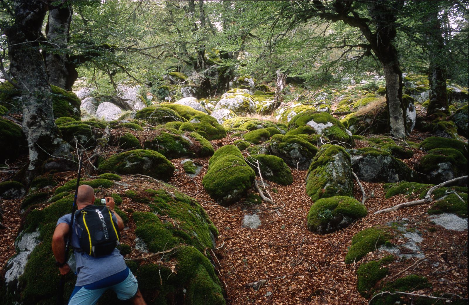
The trail marking on the GR20 is generally brilliant, but every so often the route vanishes. Early that morning, we lost the red-and-white blazes in a steep, mossy boulder field. After scrambling into a dead-end gully flanked by sheer cliffs, we realized our mistake and retraced our steps. Golden rule of the GR20: if it feels like you're off-trail, you almost certainly are.
Stage 1 was a relentless 1,000-meter vertical grunt over Punta Muratellu, past thundering waterfalls and grazing cattle.
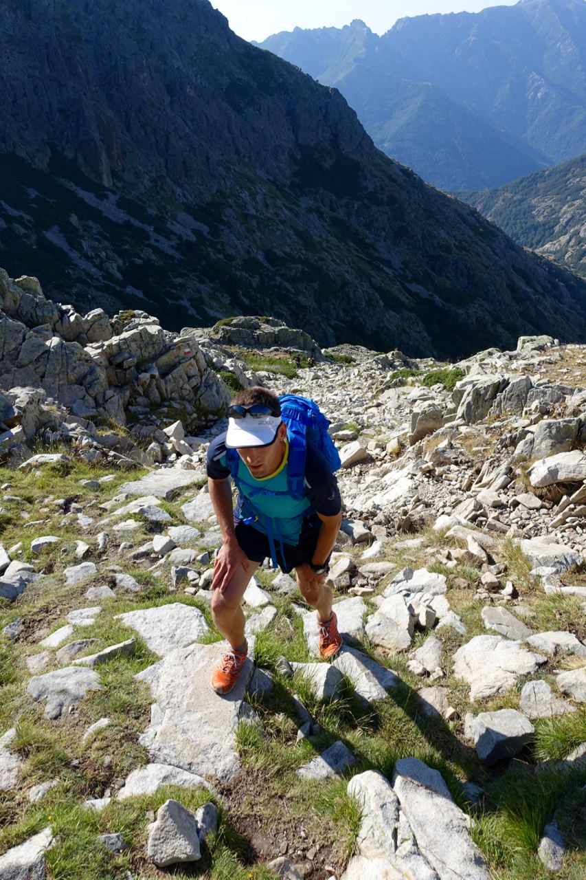
Dropping down the technical north face, temperatures spiked. We hit Refuge de l'Onda in blistering heat, ducking inside to down fresh cheese omelettes away from the brutal sun.
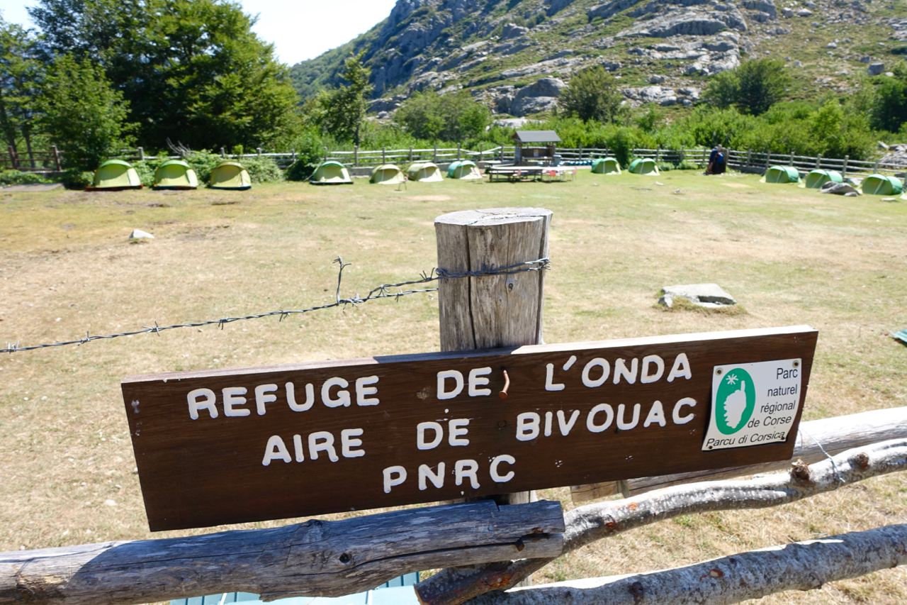
From Onda, we chose the classic valley route rather than the high alpine shortcut. It gave us runnable stretches past crystal-clear swimming holes, though in hindsight we kicked ourselves for not stopping for a dip. The 500-meter climb to Refuge de Pietra Piana took a heavy toll in the afternoon heat.
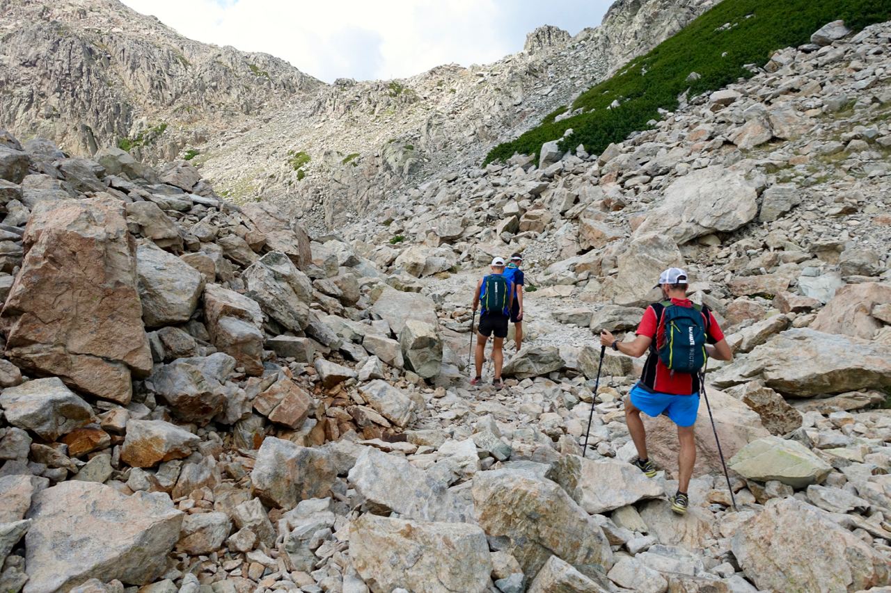
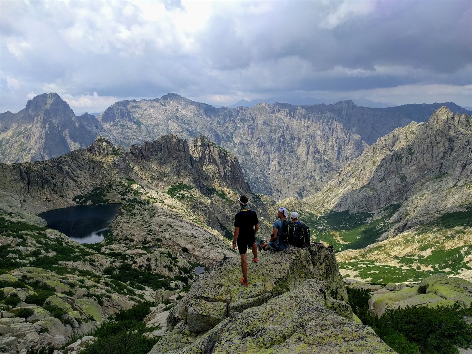
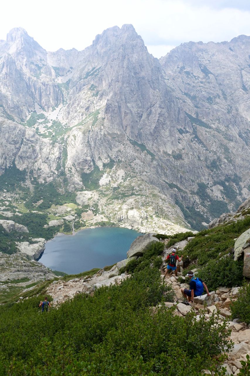
Pietra Piana was tucked in a high rocky notch. A quick soda, and we launched into what would become the most visually stunning stage of the entire expedition: the crossing toward Refuge de Manganu. Cresting the ridge above the hut revealed a mind-blowing amphitheater. We scrambled out onto twin granite pinnacles, gazing down onto the sapphire waters of Lac de Capitello and Lac de Melo far below.
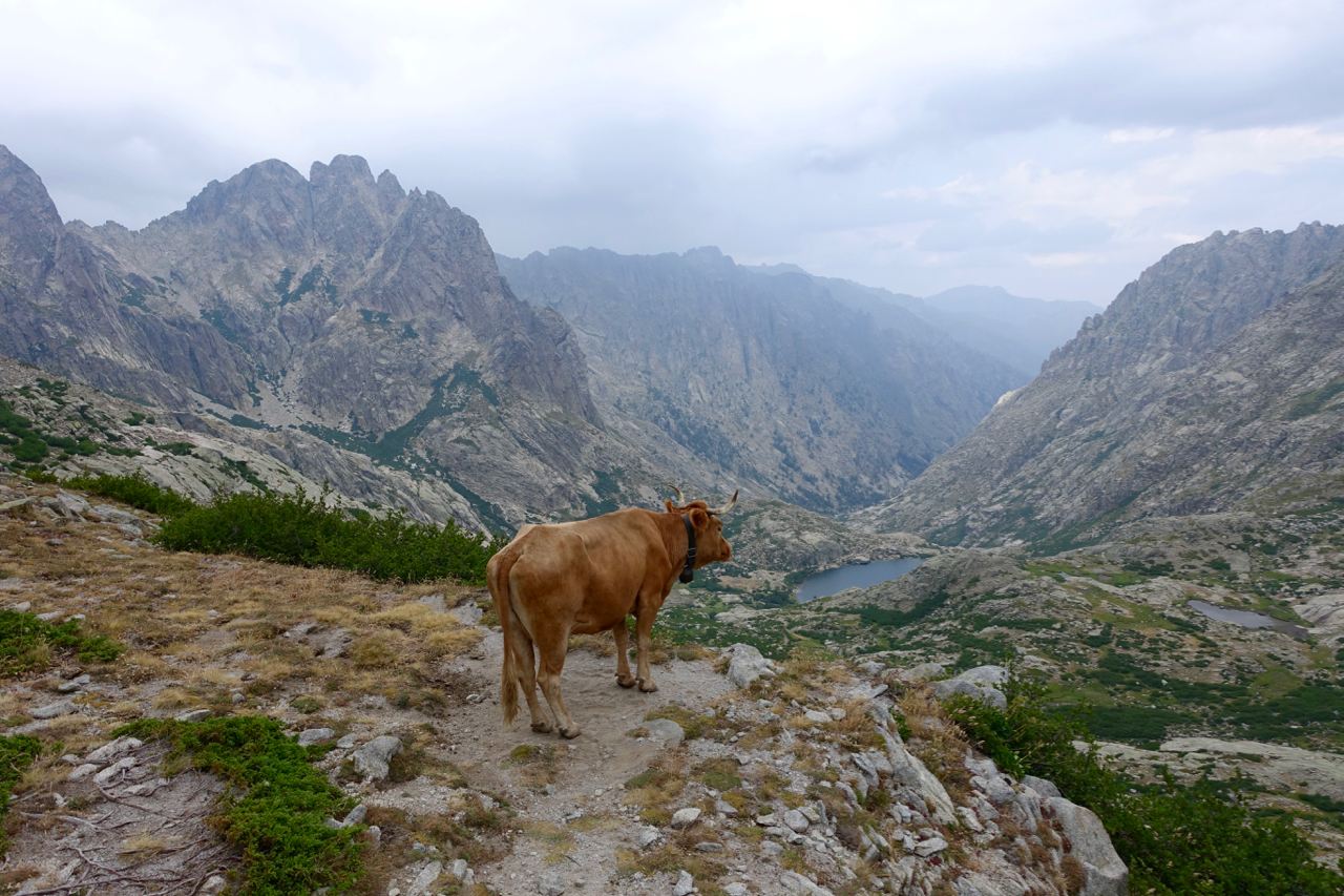
Traversing the ridge, we shared the trail with unfazed Corsican cows enjoying the multi-million-dollar views.
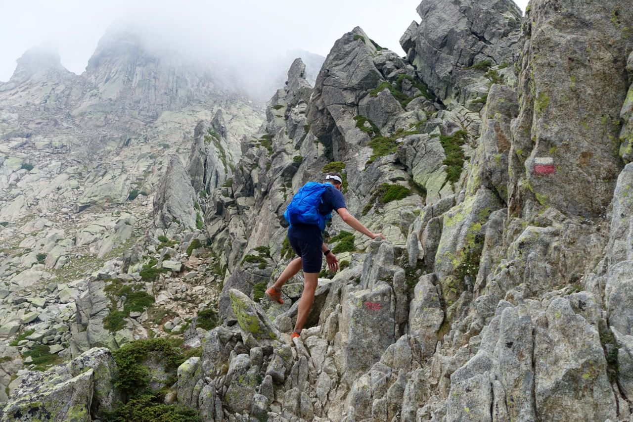
Moments later, the sky bruised purple. Thunder rumbled in the distance—not a cozy sound at 2,000 meters on an exposed ridge with 30 minutes of scrambling left before the col. We hammered up the rock face, using fixed chains to squeeze between boulders.
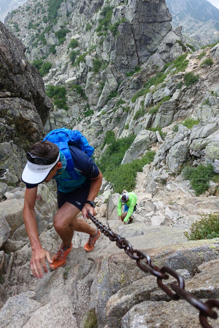
The heavens opened just as we cleared the col. We hurried down slick granite slabs as rain hammered the rocks, reaching Refuge de Manganu right as the deluge passed. We skipped the freezing outdoor shower in favor of a river dip, but with the evening air cooling rapidly, stepping into the glacial pool took serious willpower.
Day 4: Refuge de Manganu → Hôtel Castel de Vergio → Refuge de Vallone → Refuge d'Asco Stagnu (via Monte Cinto)
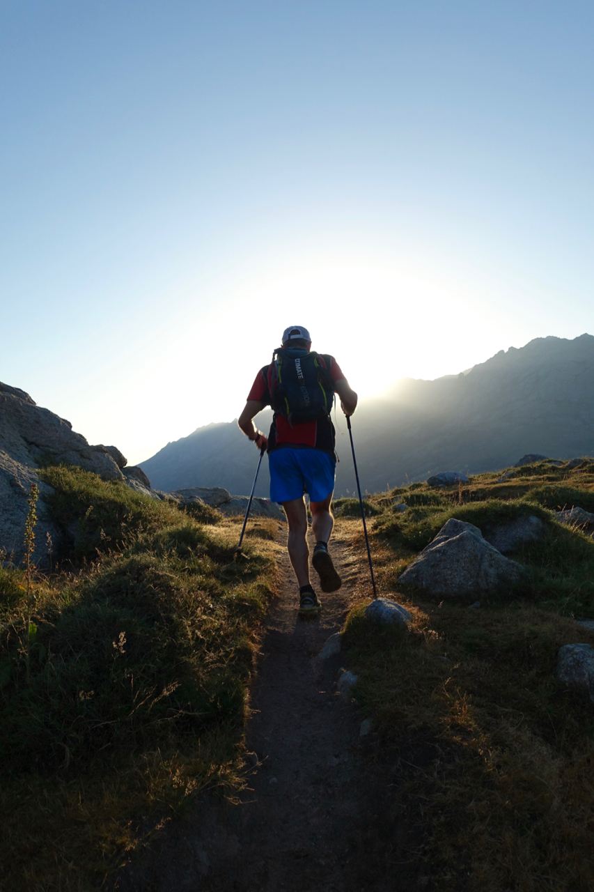
Day 4 opened with rare, sweeping flat running across open grassy plateaus dotted with grazing cows, before the trail climbed back into alpine territory.
Approaching Hôtel Castel de Vergio, an excruciating side stitch seized my ribs. At the hotel stop, I collapsed in the fetal position on the stairs, clutching my side. But there were fresh local strawberries tossed in sugar served in plastic cups—absolute ambrosia! A mile after leaving the hotel, Mattias rolled his ankle with a shout. Fredrik sprang into action, whipping out an elastic compression wrap from his pack and elevating the leg immediately. Thanks to his swift first aid, Mattias was back on his feet within minutes. The side stitch gradually faded, and we were rolling again.
Eight hours into the day, we hit the base of the queen stage: ascending the wild, jagged shoulders of Corsica's rooftop—Monte Cinto (2,706 m).
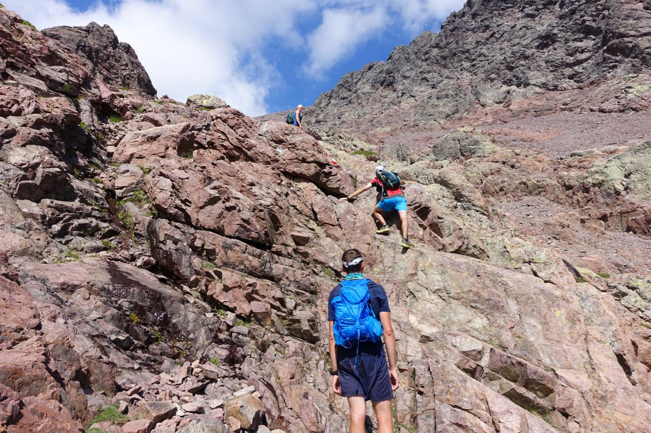
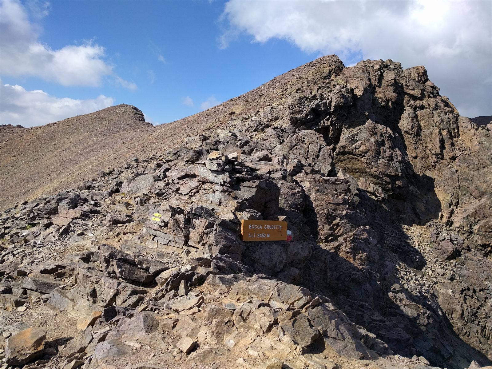
Reaching the high pass at Bocca Crucetta (2,452 m), the summit of Monte Cinto stood another 100 meters above us. Dark clouds were capping the peak, and considering how miraculously my battered knee had held up over the past four days, I chose gratitude over greed: skip the peak bagging, and make a safe descent to Asco.
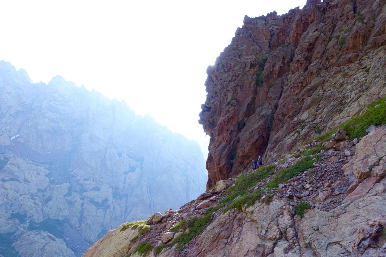
The descent was extraordinary: a sheer 1,000-meter drop through deep, loose scree. Once you dialed in the balance, it was like scree-surfing—taking massive strides and sliding a meter through the gravel with every plant.
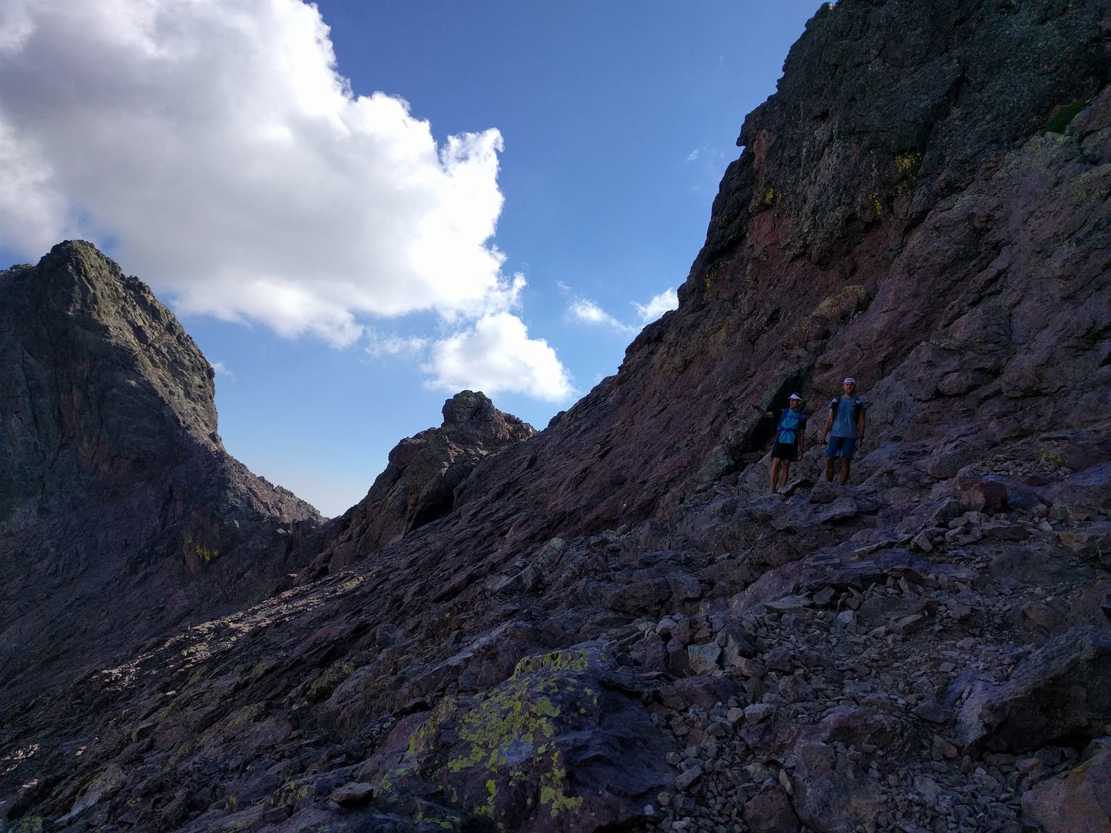
If I could re-live only one day on the GR20, it would be this one. It had everything: hand-over-hand climbing on fixed irons, singletrack traversing, turquoise swimming holes, and magnificent alpine majesty.
After 13 grueling hours, we stumbled into Haut-Asco. Because Asco is accessible by road, we envisioned hot showers and civilized comforts. The reality? Easily the grungiest, most decrepit refuge of the entire route! Broken sinks, freezing water, and dilapidated bunks. But the nearby restaurant served exquisite local specialties, and we ate until we practically had to be rolled back to bed.
Day 5: Refuge d'Asco Stagnu → Refuge de Carrozzu → Refuge d'Ortu di u Piobbu → Calenzana
My knee had felt stronger with each passing day, and by morning five, I felt like a machine. Tech gremlins struck early when my GPS watch reset its battery settings and uncoupled its heart-rate strap, forcing 30 minutes of roadside troubleshooting without cell service. (An "adventure watch" that requires internet to configure?!).
Day 5 was our shortest on paper (~25 km), but the northern end of the GR20 is notoriously steep and jagged. We crossed a swinging suspension bridge into the quiet woods of Refuge de Carrozzu, grabbed a quick cold drink, and charged up the epic ridge climb toward Refuge d'Ortu di u Piobbu. The exposure along this arête was sensational—soaring knife-edge scrambling that would have induced vertigo on day one, but now felt like second nature.
Along the ridge, we encountered a Swedish couple trekking southbound toward Conca. The guy was lugging a 40 kg (88 lb) external frame pack and hiking in sandals! We wished them luck with genuine concern for their survival.
Descending off the ridge, heat soared and water ran dry. A marked spring had dried up completely, leaving us parched. Soon, the trail dissolved into dense, thorny scrub. We lost the markings, and after scouting through clawing bushes, Fredrik found a faded blaze thirty meters to our right. We crawled through the thorns back onto the path.
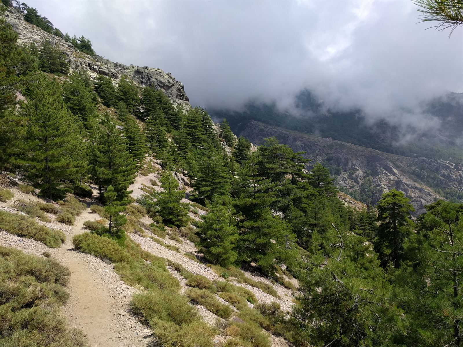
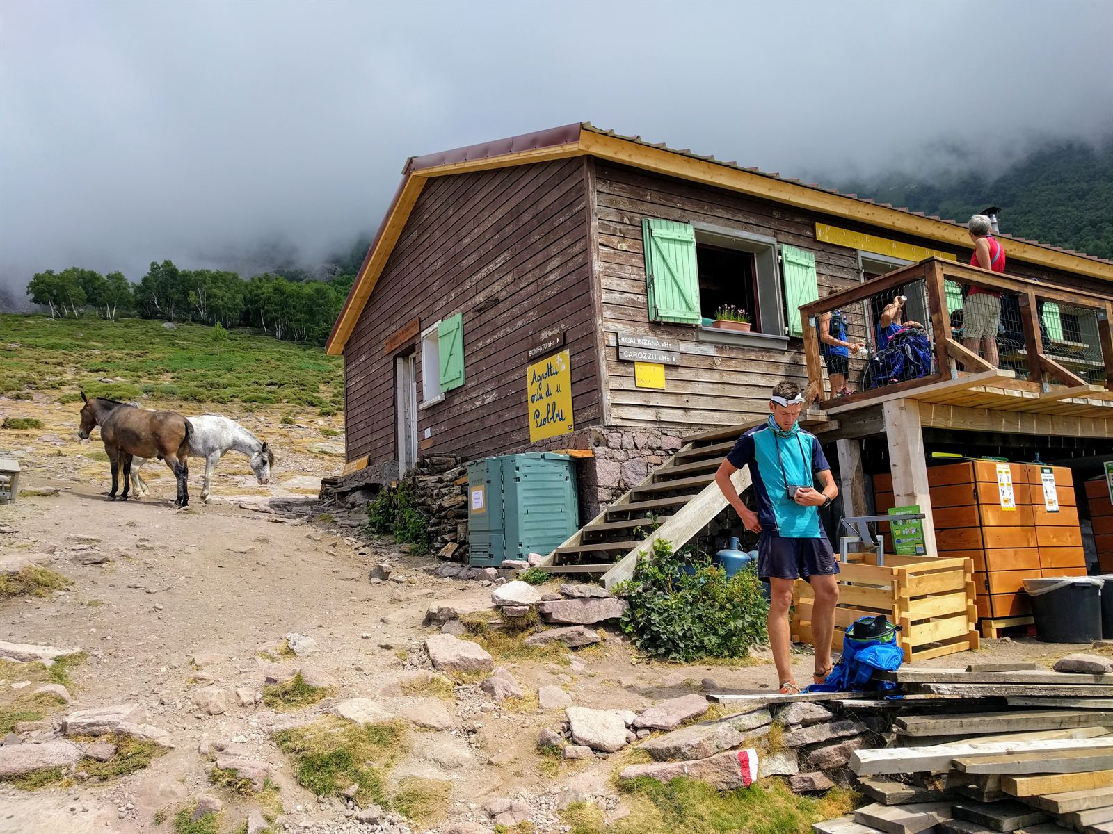
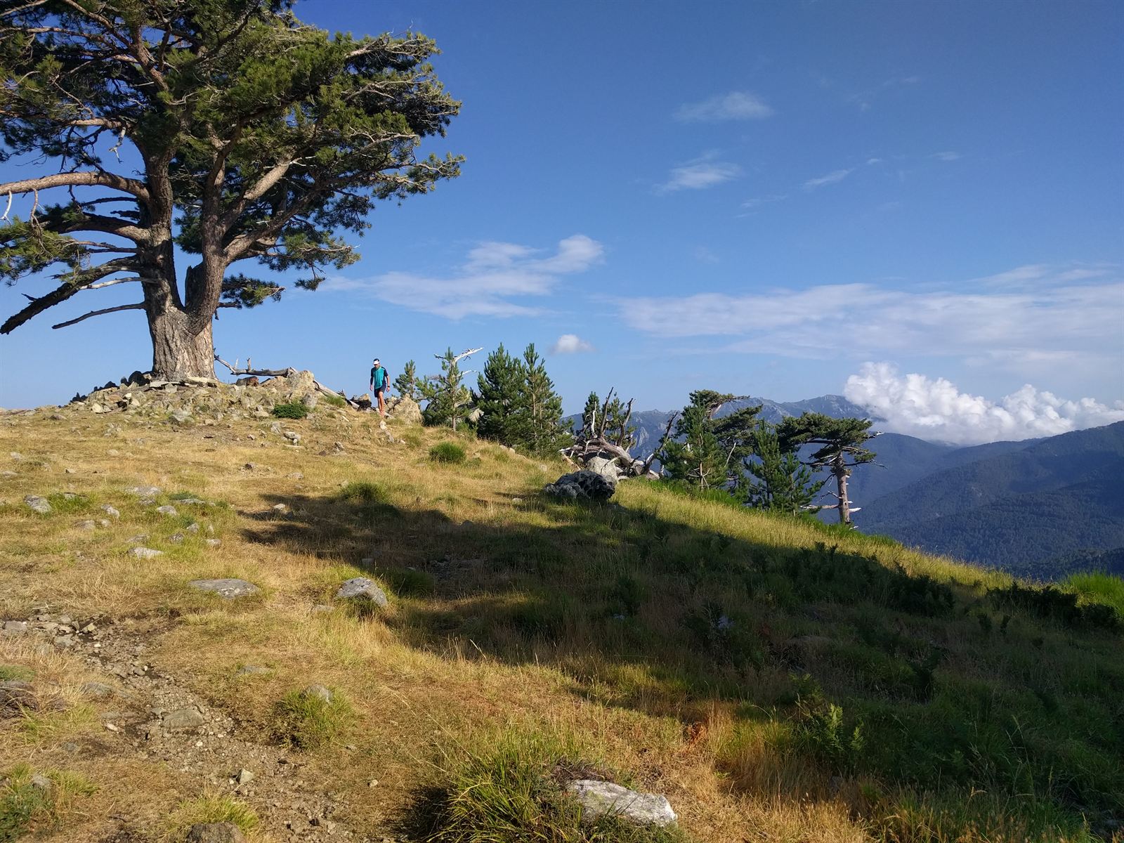
Refilling our flasks at Refuge d'Ortu di u Piobbu, a wave of bittersweet emotion set in: our journey was coming to an end. I jogged ahead solo to soak up the final high-altitude singletrack. My legs felt unbelievable; after five days of relentless vertical on scarce rations, the engine was purring. A few kilometers down, I sat beneath a mountain pine waiting for the others, grinning at just how resilient the human body can be.
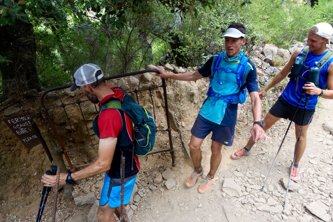
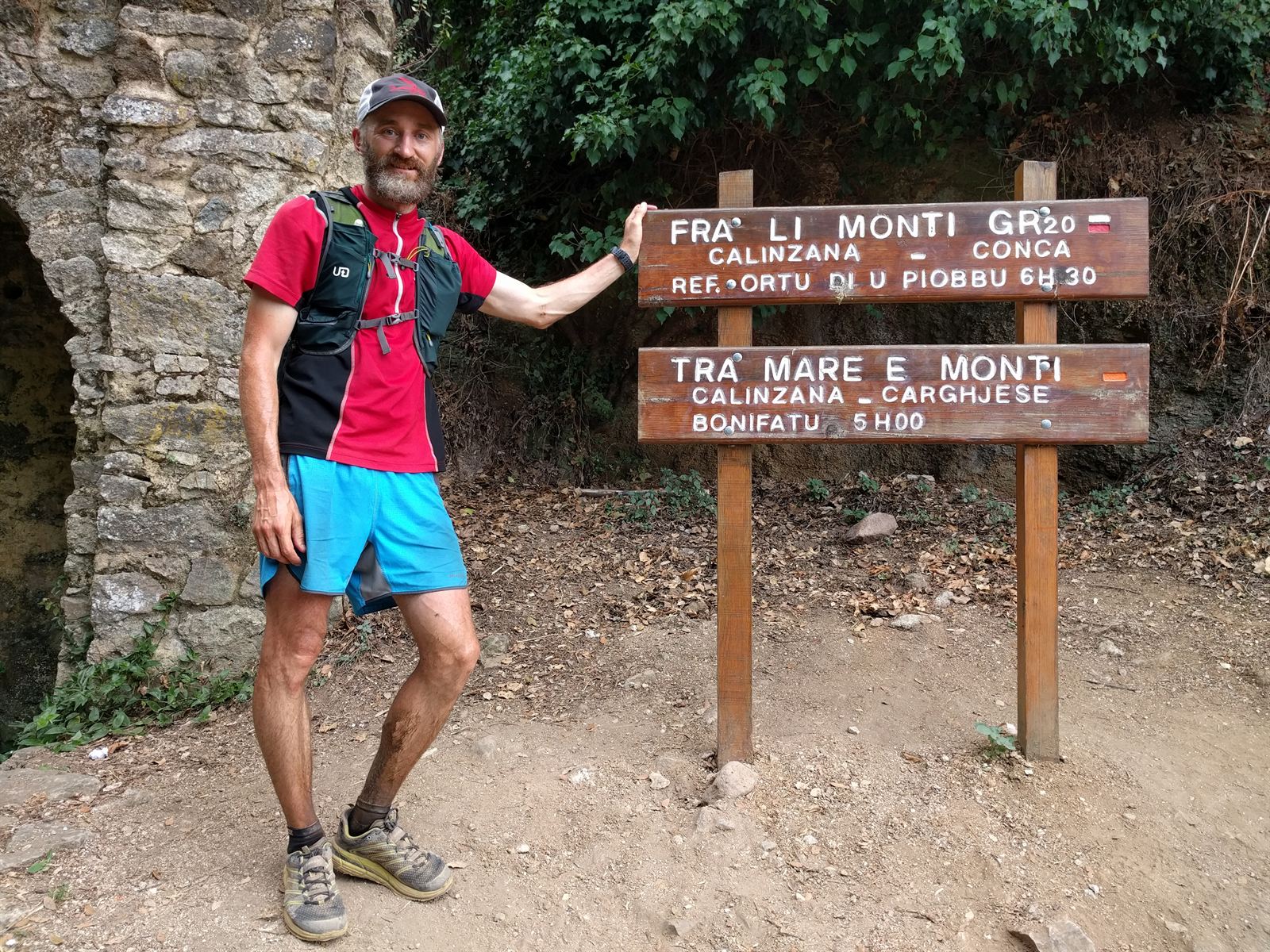
From there, the trail dropped toward the sea. The final 3 kilometers were pure joy: rolling downhill dirt, the village of Calenzana growing larger below, and the sparkling blue Mediterranean filling the horizon. Suddenly, we pushed open the wooden gate marking the official end of the GR20. It felt almost abrupt: 200 km and over 15,000 meters of elevation gain behind us.
The Aftermath and Reflections
The contrast between the primitive mountain huts (especially Asco) and checking into our hotel in the coastal haven of Calvi was surreal. You truly have to endure the deepest valleys of fatigue to appreciate life's highest peaks. We spent a day lounging by the sea before taking the mountain railway back to Bastia to collect our bags.
Looking back with some perspective, I feel immensely proud to be among the few who have completed the full GR20, let alone fastpacking it in five self-supported days. If I ever return, I would either take ten days to swim in every glacial pool and savor every viewpoint—or attempt the entire 180 km in one continuous, non-stop push.
And who won the trail trash competition? The GR20 won, without question. We packed out far more than we ever brought in. #LeaveNoTrace.